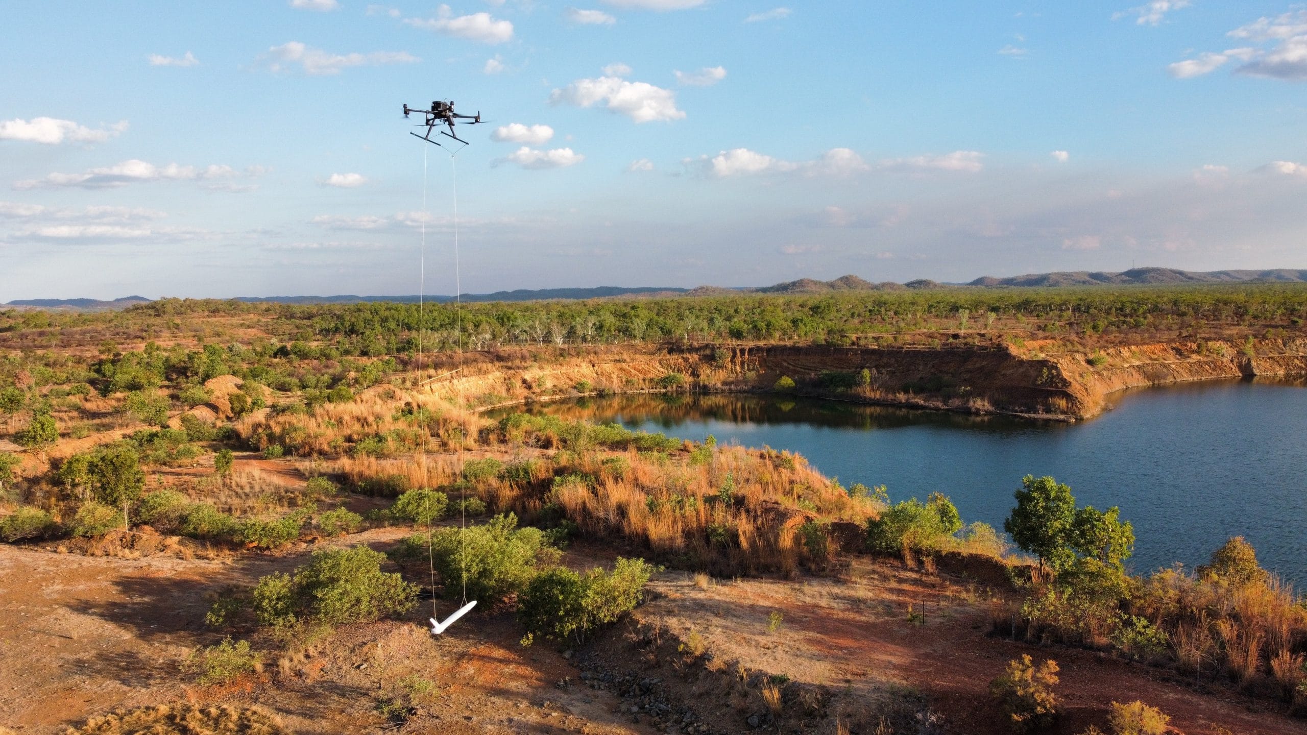
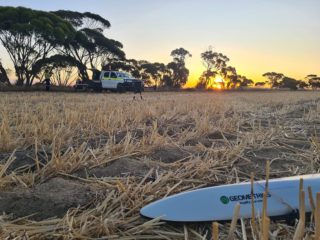
Sensorem specialises in conducting drone-based magnetometer surveys utilising the advanced Geometrics Mag Arrow II, delivering high-resolution data for various applications, particularly in mining exploration. Our expertise in aerial surveys allows us to efficiently cover large areas and collect detailed magnetic data, providing critical insights into the subsurface characteristics of the survey area. By pairing UAV magnetometer surveys with our state-of-the-art LiDAR surveys, we offer a comprehensive and integrated solution that enhances the accuracy and reliability of our findings.
Drone Magnetic Surveys
The use of the Geometrics Mag Arrow II magnetometer enables us to detect subtle variations in the Earth’s magnetic field, which can indicate the presence of mineral deposits and other geological features. This high-resolution magnetic data is essential for identifying potential mining sites, guiding exploratory drilling, and assessing the viability of mining operations. Our drone-based approach not only improves the efficiency and safety of the survey process but also ensures that we can access and survey challenging terrains that might be difficult to reach with traditional ground-based methods.

Integrating Magnetometry & LiDAR
Combining magnetometer surveys with LiDAR technology provides a more complete and detailed picture of the survey area. While the magnetometer captures subsurface magnetic anomalies, LiDAR surveys generate precise 3D models of the terrain and surface features. This integrated approach allows us to correlate surface characteristics with subsurface data, enhancing our understanding of the geological context and improving the accuracy of our interpretations. The synergy of these technologies supports more informed decision-making in mining exploration, helping our clients to optimise their exploration strategies, reduce risks, and increase the likelihood of successful resource discovery. Sensorem’s commitment to leveraging the latest in drone and sensing technologies ensures that our clients receive the most comprehensive and actionable data available.