10,000+
Asset inspections completed
120+
Average drone flights per day across Australia including Drone-in-a-box
9500+
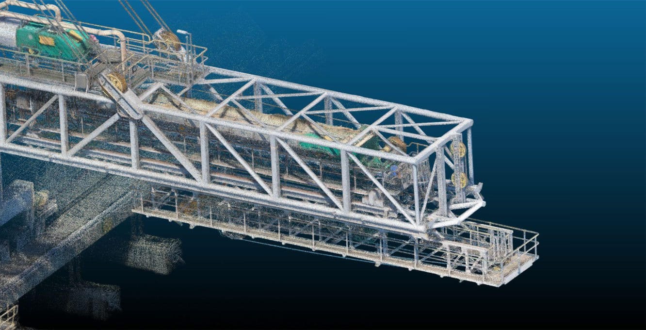
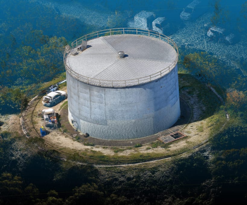
Digital Twins constructed
24/7
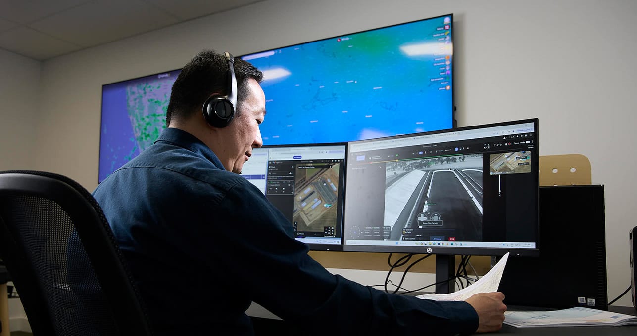
Remote Flight Operations
190+
Terabytes of data processed and analysed
40+
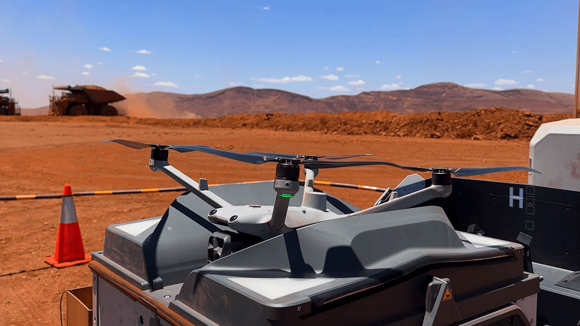
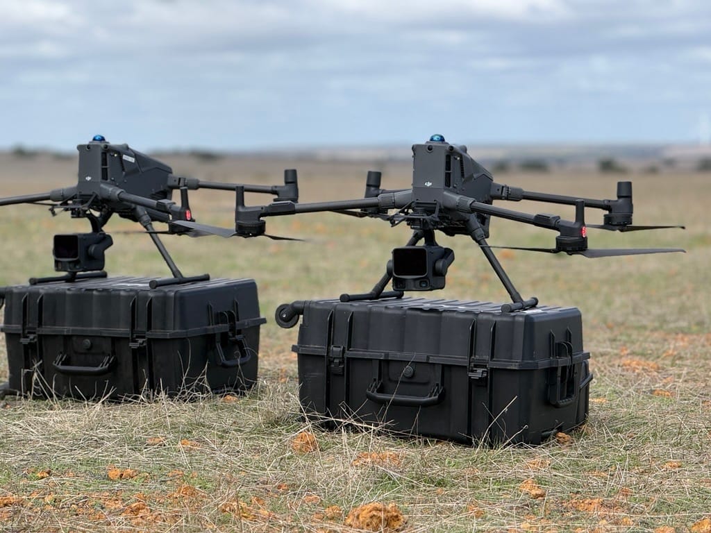
SensHub Drone in a Box systems deployed


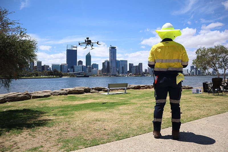
Sensorem is a leading Australian provider of autonomous Drone-in-a-Box technology and remote drone operations, supported by a national deployment network and CASA-approved Remote Operations Centre.
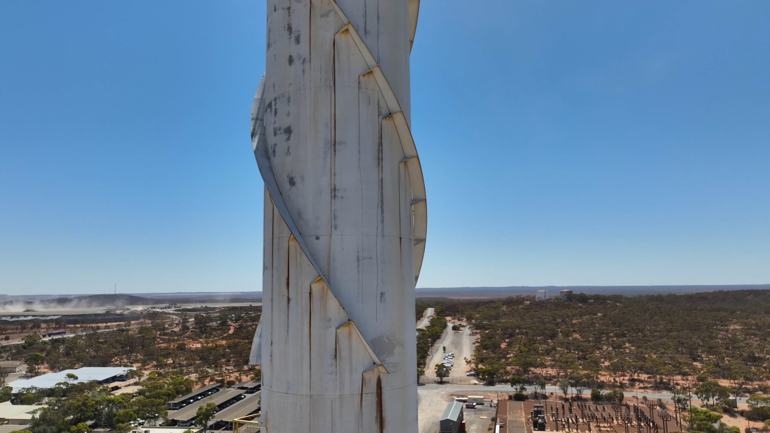
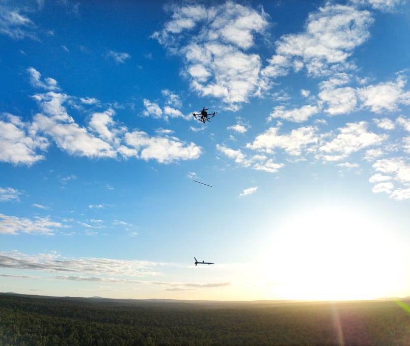
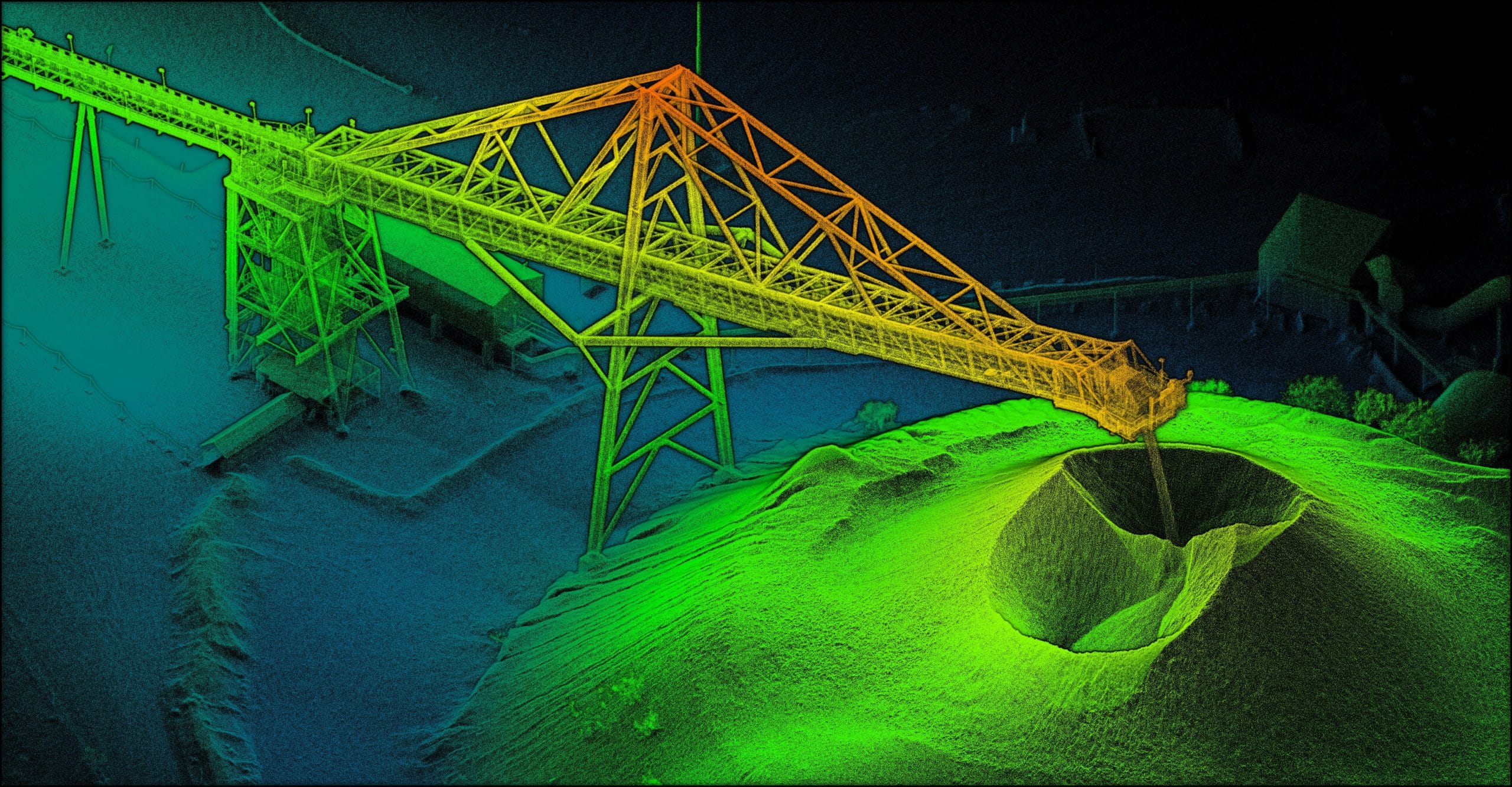
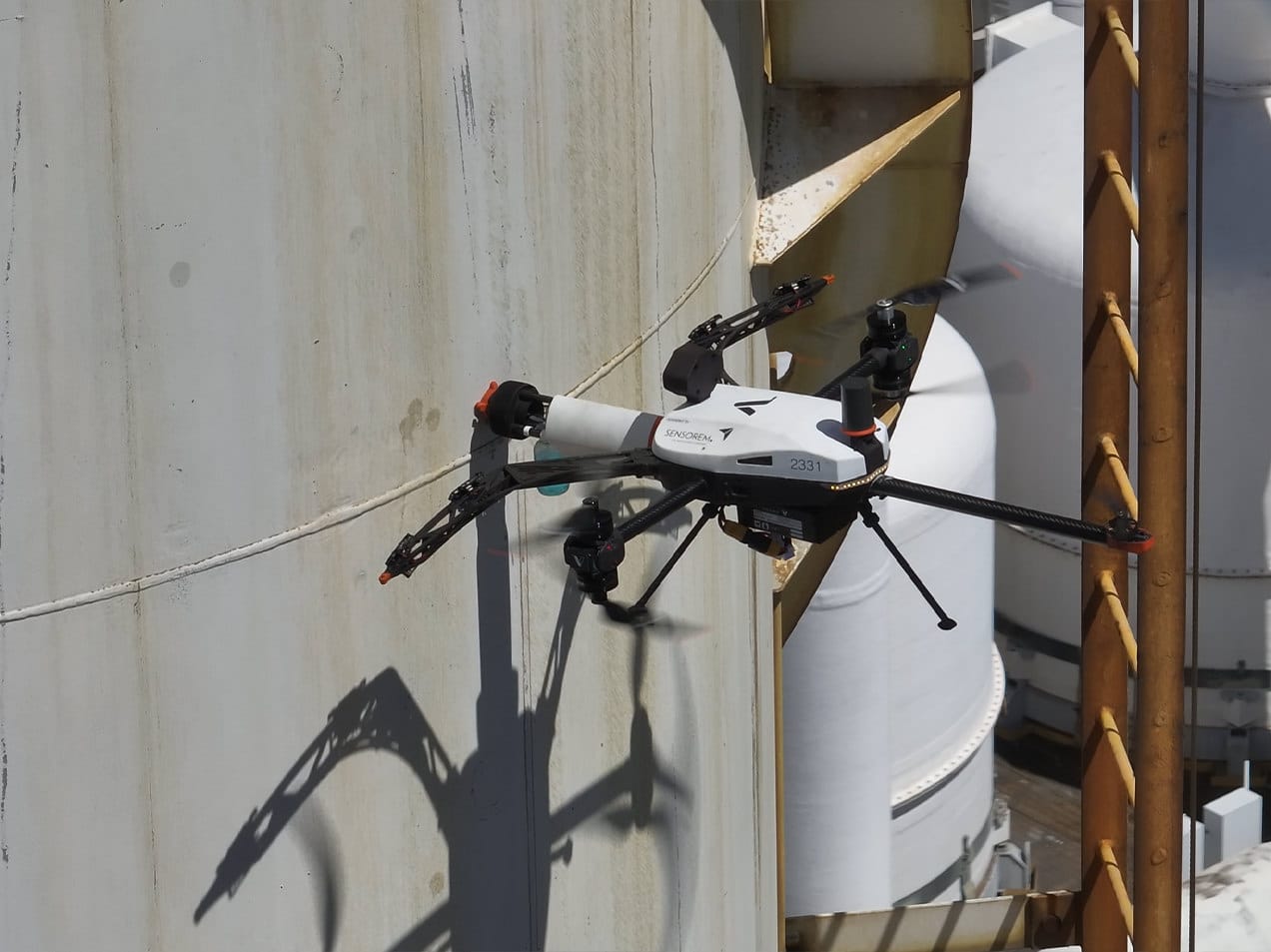
Headquartered in Perth, Sensorem has delivered large-scale and boutique drone and remote sensing services across Australia for more than 13 years, including asset inspection, aerial surveying, LiDAR, mapping and data capture.
Discover Sensorem’s advanced Drone in a Box solutions and extensive drone and remote sensing services. With CASA-approved operations and cutting-edge technology, we deliver unparalleled efficiency and precision across various industries.
Explore technologies we use
Explore the power of our cutting-edge remote sensing technologies to enhance your inspection, survey, and surveillance projects. Connect with our specialist team to discover more and find out how we can customise our services to suit your specific needs.
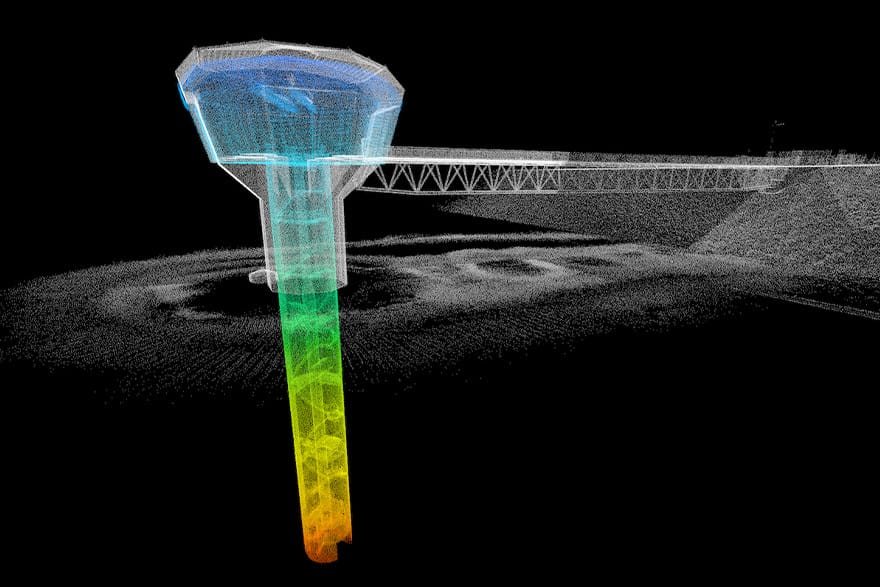
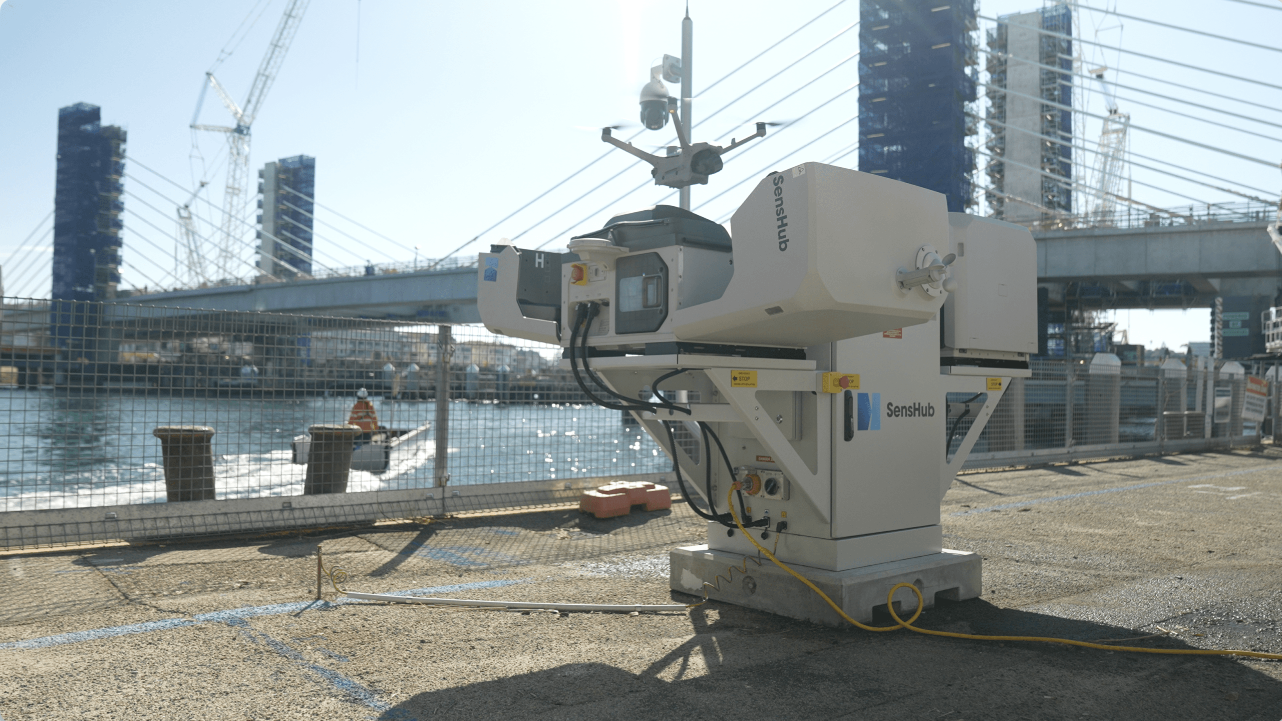
Main Roads WA Autonomous Drone Monitoring– Fremantle Traffic Bridge
Sensorem deployed its ‘SensHub Infinity’ Drone-in-a-Box system at the Fremantle Traffic Bridge precinct to provide rapid aerial situational awareness across the bridge, surrounding roads, and key intersections.
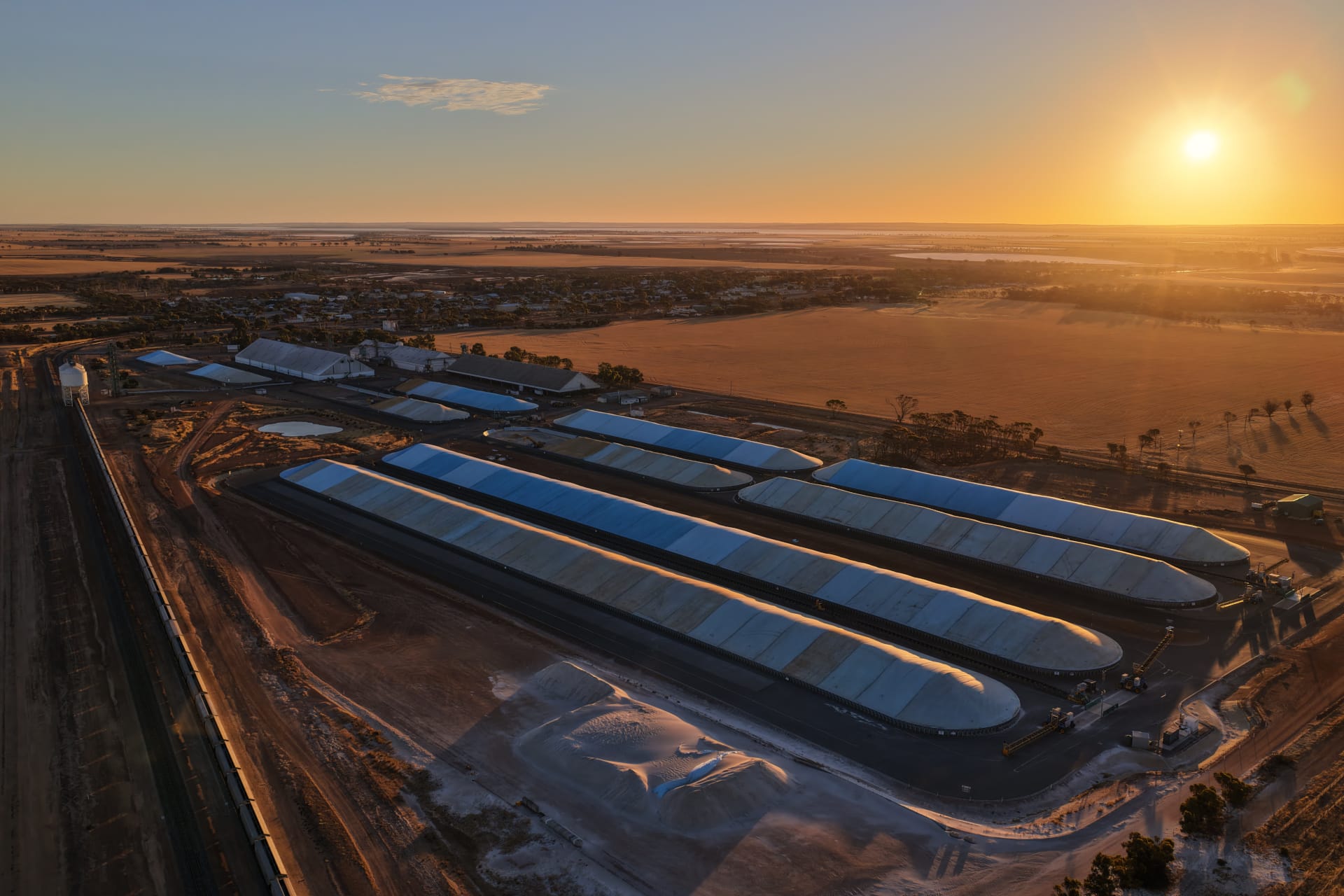
Drone in a Box – Grain Storage Facilities
Drone in a Box technology deployed on grain storage sites to protect grain stockpiles from birds.
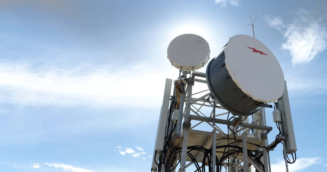
Trusted by Australian industries including telecommunications, mining, agriculture and government.