Skeleton Weed Detection
Client
Project Status
Location
For over seven years, Sensorem has been using cutting-edge remote sensing technologies to identify and monitor the spread of skeleton weed across the Wheatbelt. Contracted by the Department of Primary Industries and Regional Development (DPIRD) Sensorem’s sophisticated drone technology conducts surveillance that drastically reduces the need for manual surveys and saves time and resources.
What is skeleton weed, and why is it a problem?
Skeleton weed is a declared pest in Western Australia (WA). It significantly reduces crop yields, especially wheat. Skeleton weed can reduce grain crop yields due to its deep perennial root system and interfere with harvesting as its wiry stems are still green at harvest time.
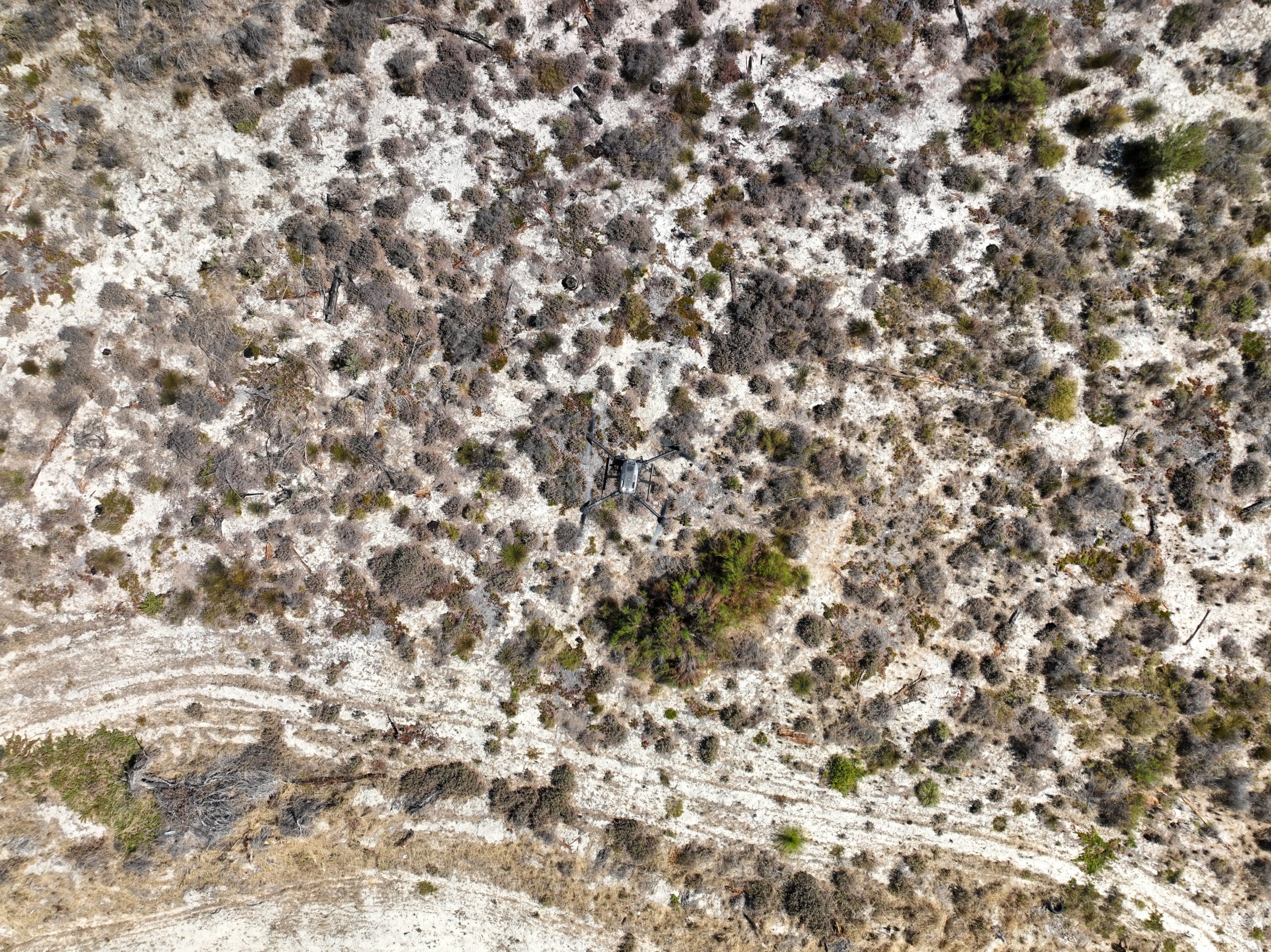
What technology did Sensorem use?
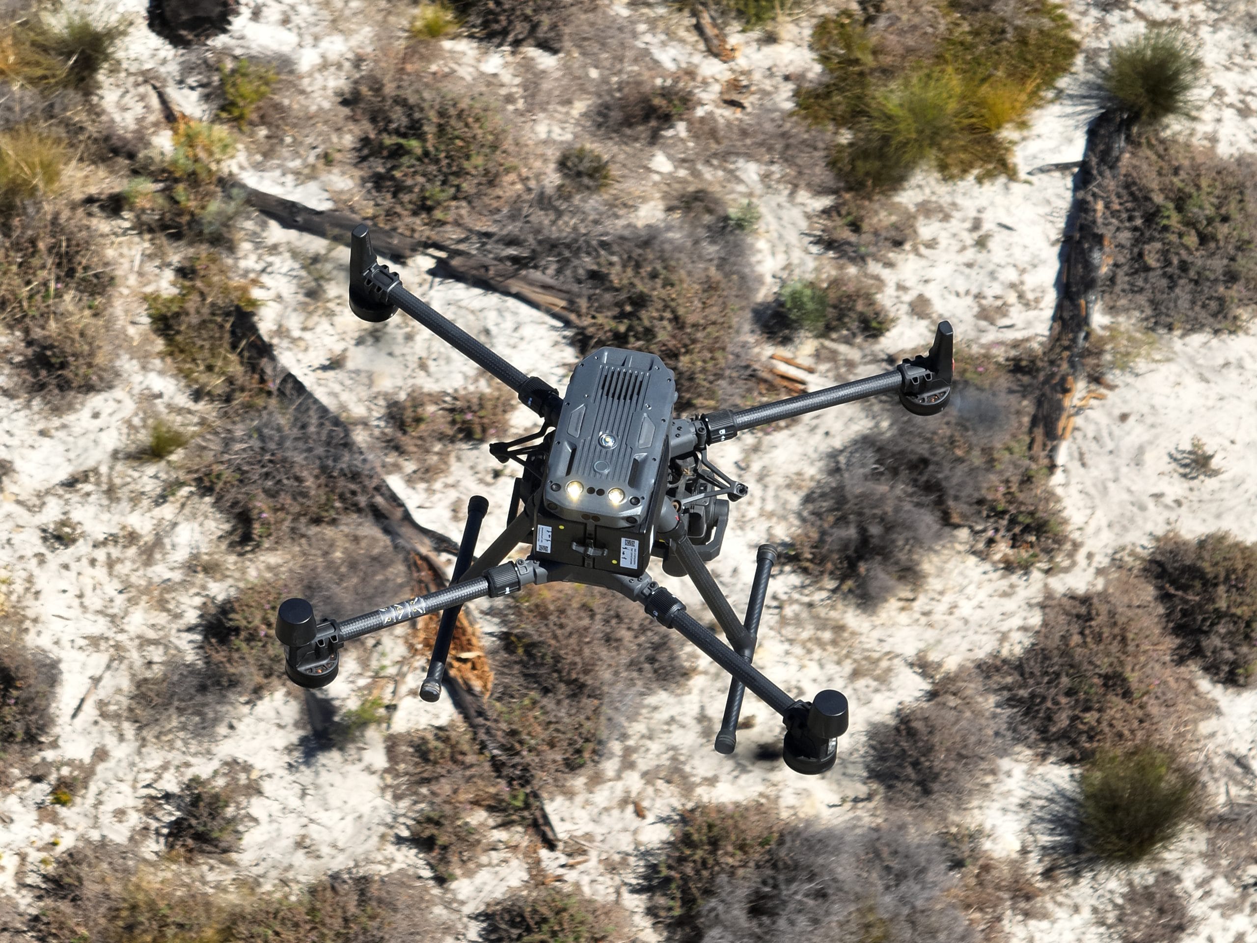
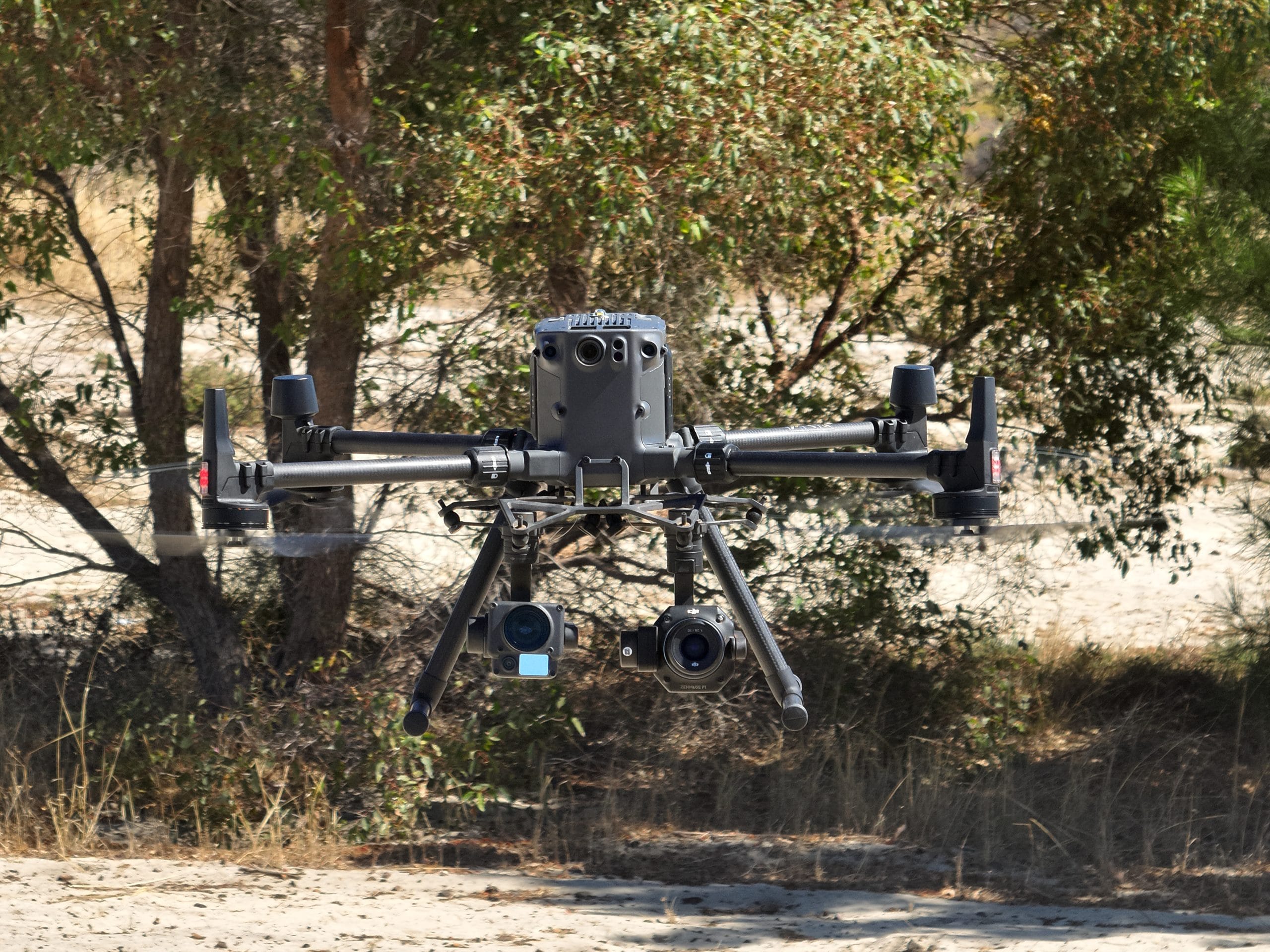
Sensorem used the DJI M300, Sony ILX-LR1 and Gremsy Pixy MR Gimbal to capture the data, using specific camera and flight parameters developed by Sensorem and DPIRD . The high-resolution imagery is delivered to DPIRD, who process it through their internal AI powered software. When the algorithm detects skeleton weed, DPIRD contracts its removal.
Using drones to detect skeleton mapping reduces the risk of paddock fires caused by vehicles, as well as increasing efficiency due to less reliance on multiple staff required to mobilise in 4WDs. A review of the program noted: “New surveillance technologies to identify new infestations will be critical to finding plants before infestations spread seeds widely.”
How the project succeeded
After a series of planning sessions and risk assessments between Sensorem and DPIRD’s program managers, with parameters agreed, Sensorm deployed its aerial capture team, choosing the DJI M300 RTK drone for its endurance, reliability and centimetre-level geospatial accuracy.
Mounted to the drone was the Sony ILX-LR1, a compact yet powerful full-frame RGB camera, providing stabilised, high-resolution imagery. Flight missions were flown autonomously, using pre-programmed routes. Every image was automatically tagged with accurate location data, allowing the imagery to be processed using its in-house software and custom-built algorithm trained to detect skeleton weed patterns from aerial views.
DPIRD confirmed detections, then contracted its removal.
Using Sensorem’s technology, DPIRD’s Skeleton Weed Program has streamlined skeleton weed identification, ensuring that farmers and land managers are promptly informed when weed infestations are found. This timely response has proved crucial in preventing the spread of the weed and minimising the damage to crop yields.
The ability to efficiently detect and monitor skeleton weed in WA using remote technologies has reduced the need for manual surveys where vehicles are required to drive across paddocks, saving time and resources, and allowing DPIRD to focus its efforts on targeted eradication. This project has not only supported the regional communities by protecting crops but also demonstrated the value of incorporating drone technology in pest management strategies.
Looking forward, the ongoing success of this surveillance initiative will continue to play a vital role in safeguarding the Wheatbelt’s agricultural output, ensuring that the region’s farmers can better manage this invasive pest with minimal impact on their productivity and profitability.