Southern Ports Laser Scanning and Reality Capture
Client
Project Status
Location
Related Capabilities


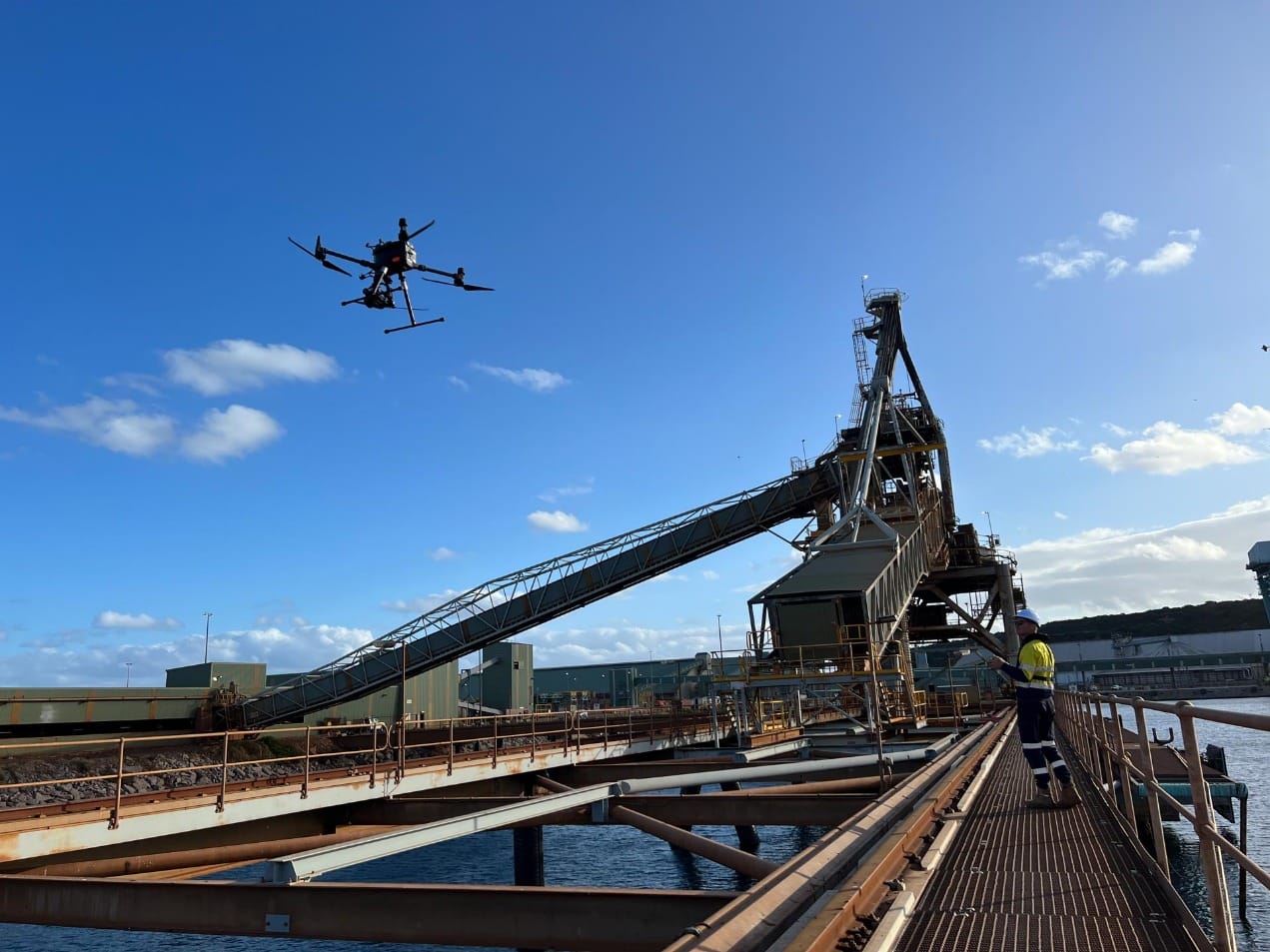
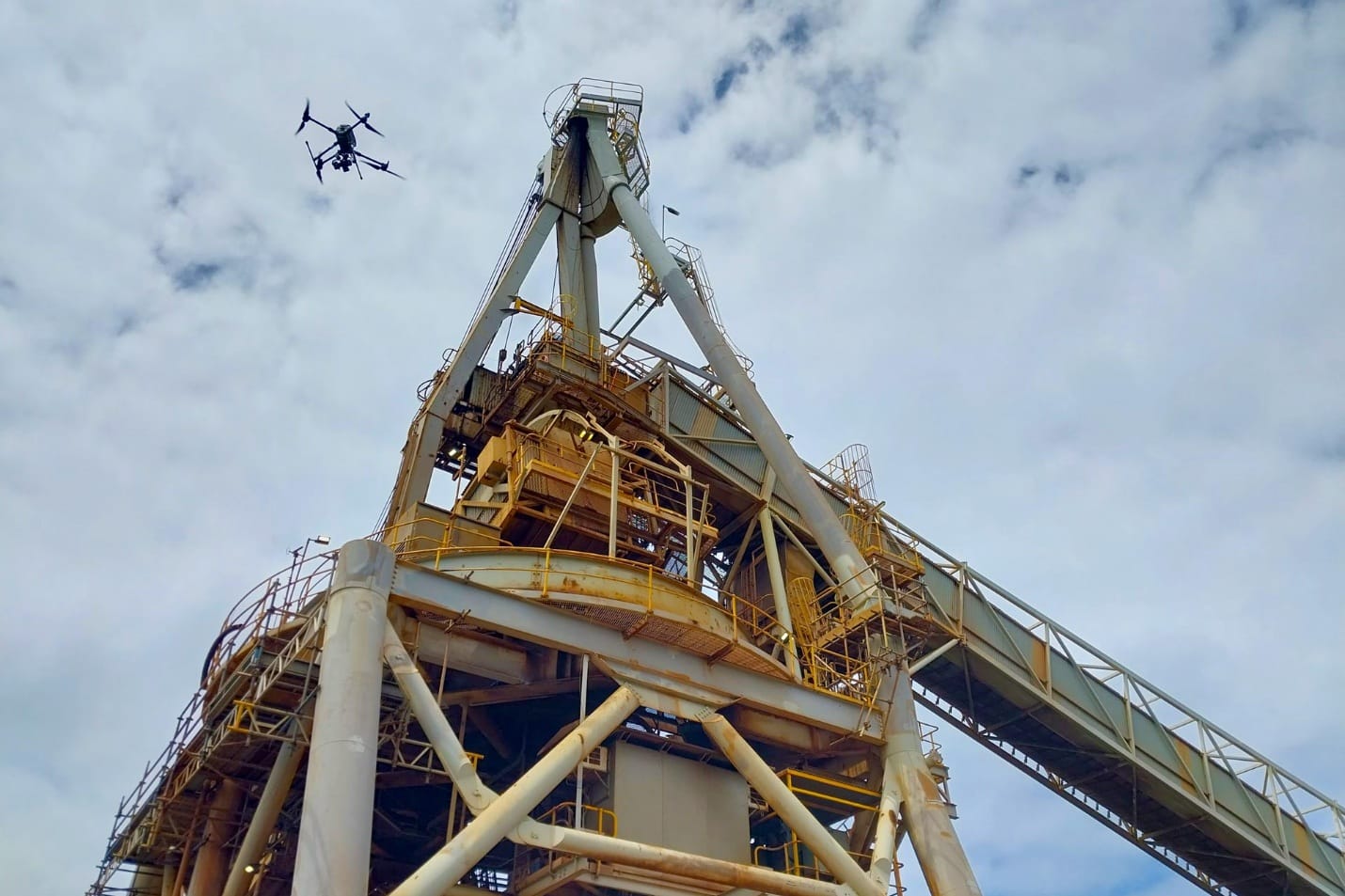
Sensorem was hired by Southern Ports to complete the inspection and digitisation of Berth 3 and its components at Esperance Port, including shiploaders, conveyors, tug and pilot boat jetties and Berth 3 jetty and its underside. We deployed a selection of drone imagery, terrestrial laser scanning, ground-based imagery, and boat-captured imagery to gather highly precise and accurate data across all inspection equipment.
What is terrestrial laser scanning?
Terrestrial laser scanning offers users high accuracy when it comes to infrastructure inspection. Sensorem’s terrestrial laser scanning technology allows us to capture high-resolution 3D data of structures like bridges, pipelines and, in this case, port infrastructure.
We then use the detailed 3D data to conduct thorough and detailed assessments of the asset’s condition. This data our terrestrial laser scanner provides allows us to model the structure and identify potential issues, giving the asset owner the opportunity to facilitate proactive maintenance and repairs.
Capturing highly detailed data and imagery for our infrastructure clients reduces the need for manual inspections, which enhances safety and efficiency, minimising operational disruptions.
How did Sensorem’s terrestrial laser scanning and drone imagery help Southern Ports?
Using a combination of remote sensing technologies, Sensorem conducted a set of inspections to create 3D reality models and build information modelling software (BIM) of the target assets listed above.
The accuracy of all inspections was verified using a permanent network of ground control points (GCPs) which were verified using Trimble S7 total station and traverse prisms to take highly accurate angular and distance measurements.
What technology did Sensorem use?
Sensorem in-house FARO Focus scanners were used to scan the internal and externals of each of the Berth 3 assets. A total of 575 scans were captured across all assets using these scanners, with the scan spread no more than 10 metres apart so that we could achieve sufficient overlap for the density of the point cloud required. To guarantee millimetre accuracy, reference spheres were used to register the scans to a single point cloud model.
BIM modelling was used for each of the 9 assets that were scanned. Each BIM model is a digital representation that accurately depicts the asset’s physical and functional characteristics. These models were created to a high level of detail (LOD350) specification, which includes all the necessary information for construction purposes.
How successful was their laser scanning and drone imagery?
BIM models produced to LOD350 specification significantly improved the efficiency and accuracy of construction processes by providing a comprehensive understanding of the building’s design and construction requirements.
Through our partnership with Skand, Sensorem provided a cloud-based software platform for data hosting and viewing of a range of data formats including 3D meshes, point clouds and 360-degree panoramic imagery, all overlaid with vector-based mapping data. The client was then able to view a full lifecycle of each asset through unique layering functionality and utilise annotation and markup features to create customisable, actionable reports.