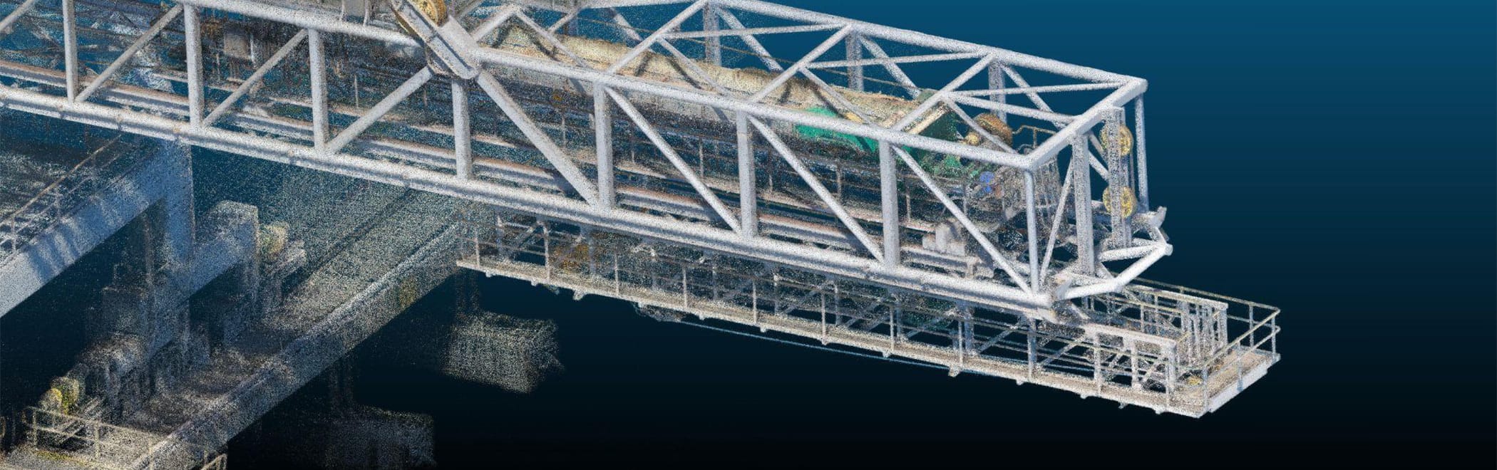
Sensorem leverages terrestrial laser scanning technology to deliver high-precision inspection and digitisation services for various infrastructure and industrial applications. Our advanced laser scanners capture detailed and accurate 3D data of physical structures, providing invaluable insights for Building Information Modelling (BIM), industrial facility management, and infrastructure projects. This cutting-edge technology enhances our capability to create precise digital twins for comprehensive asset and facility management, enabling our clients to make informed decisions and maintain optimal operational efficiency.
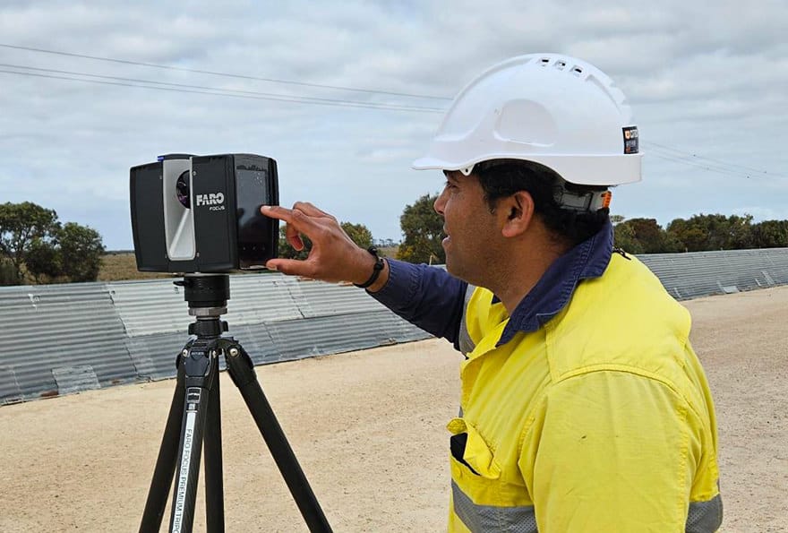
For infrastructure inspection, Sensorem’s terrestrial laser scanning technology plays a pivotal role. By capturing high-resolution 3D data of structures such as bridges, port infrastructure, and pipelines, etc, we can conduct thorough and detailed assessments of their condition. This data allows us to identify potential issues early, facilitating proactive maintenance and repairs. The accuracy and detail provided by our laser scanners significantly reduce the need for manual inspections, enhancing safety and efficiency while minimising downtime and operational disruptions.
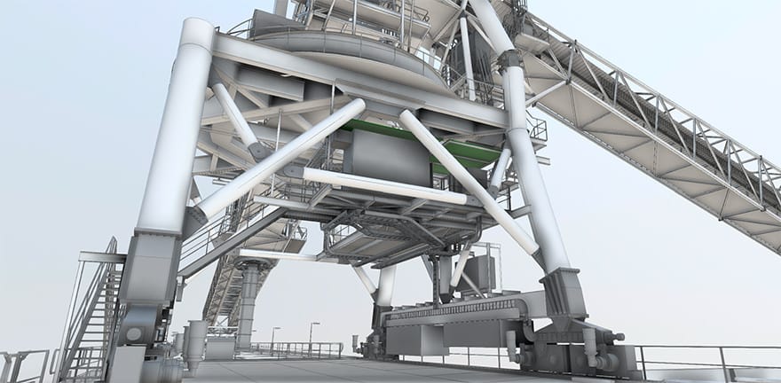
For Building Information Modeling (BIM) and industrial facility management, Sensorem’s terrestrial laser scanning services offer unparalleled precision and detail. Our scanners capture comprehensive data that can be used to create accurate 3D models and digital twins. These digital representations enable precise monitoring, analysis, and management of assets over time, ensuring that facilities are maintained at their highest standards.