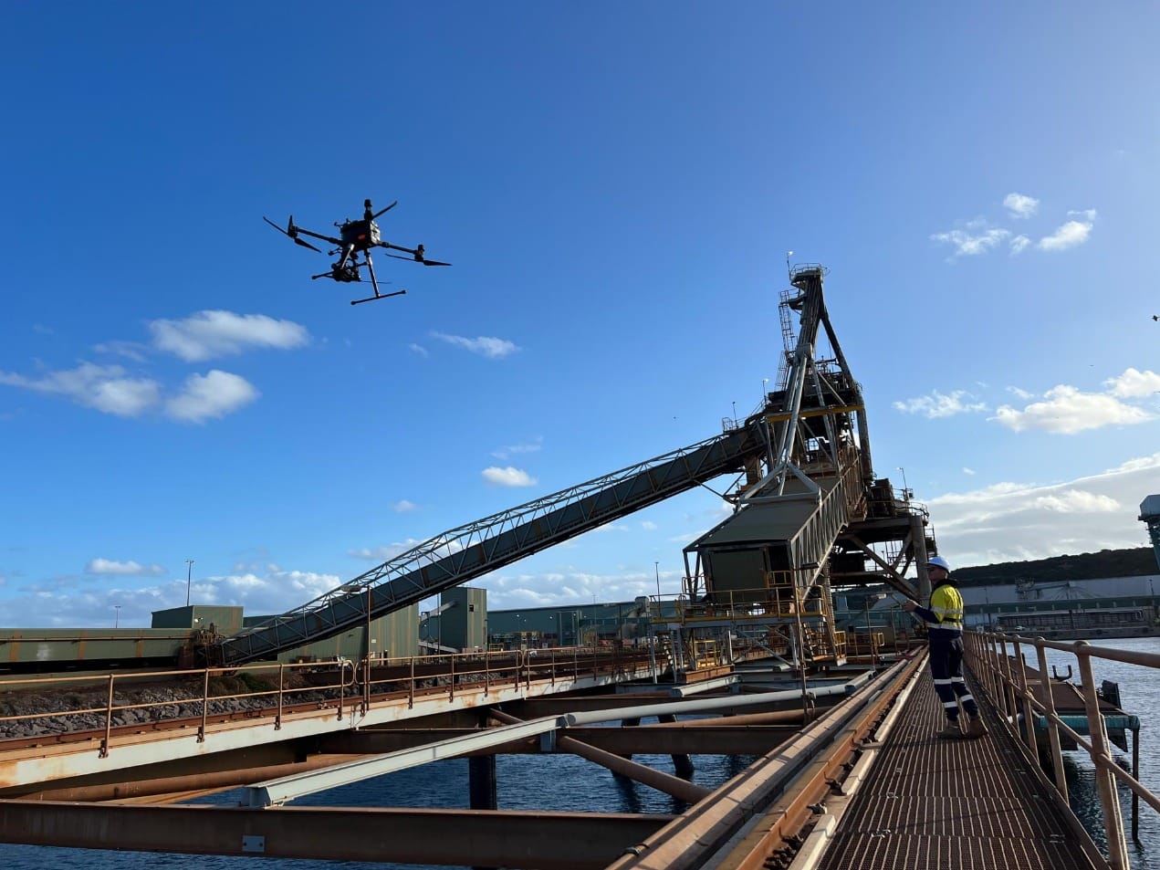


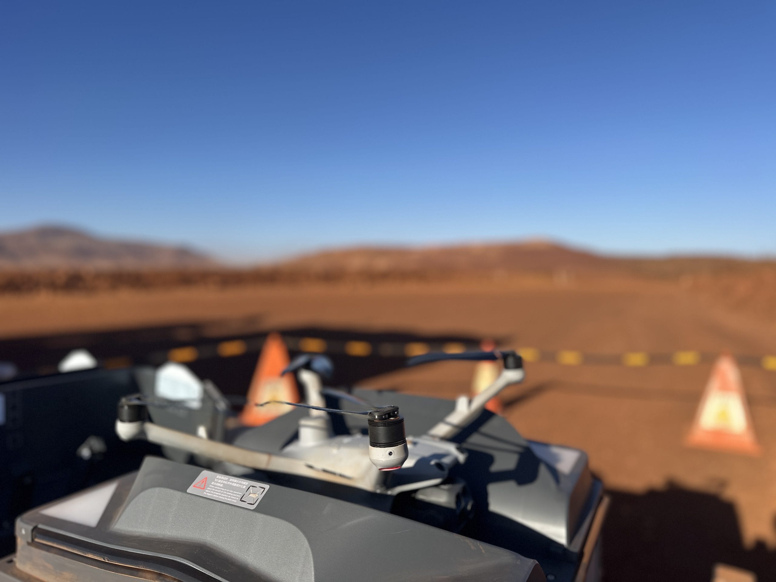
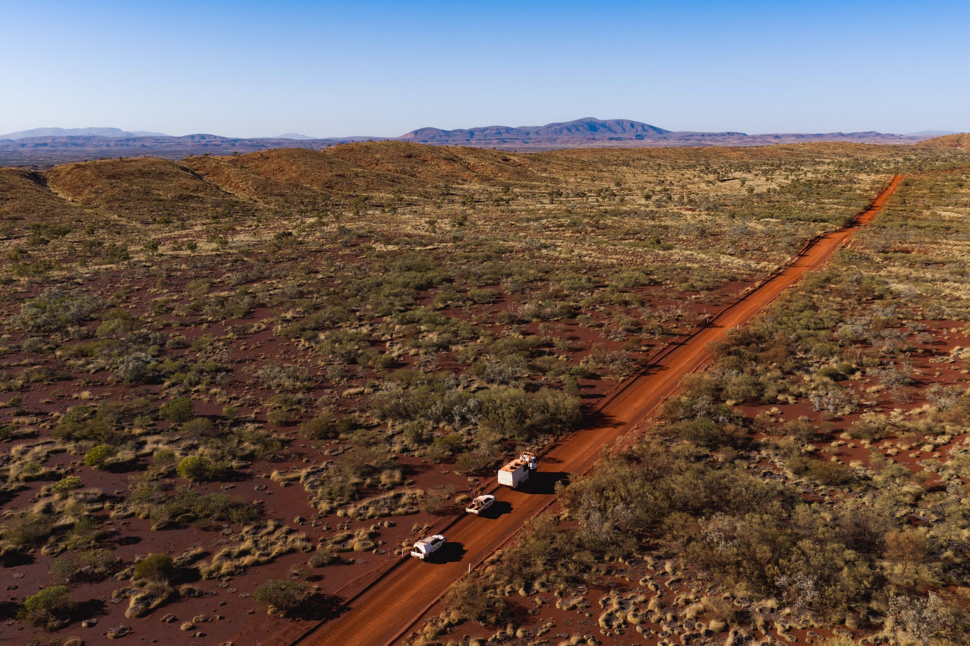
With remote mining projects spanning thousands of kilometres of previously untouched landscape across the country, drones play a vital role in the industry. Mining drones can access hazardous hard-to-reach areas and provide accurate mapping services and inspections, minimising the risk to personnel by reducing the need for people to enter these sites.
How We Serve the Mining Industry
Drones in mining can provide drone magnetometer surveys, drone mapping services, equipment monitoring and infrastructure inspection.
They’re useful for conducting mining exploration, asset inspection, inspecting hazardous areas and conducting post-blasting assessment. Drones provide real-time data access to all the high quality data they capture, allowing our clients to transform raw information into actionable data.
Key Services
Magnometry surveys
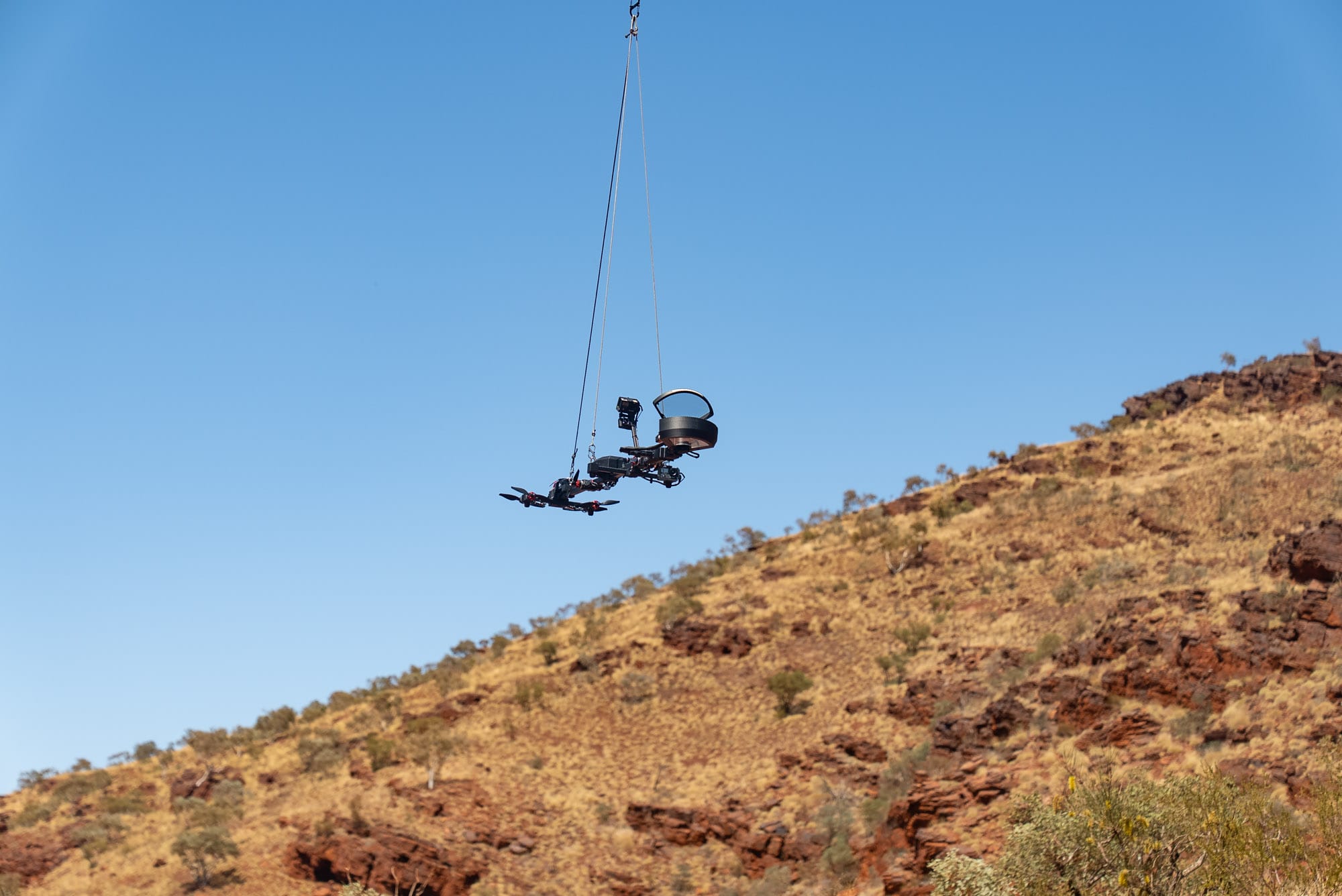
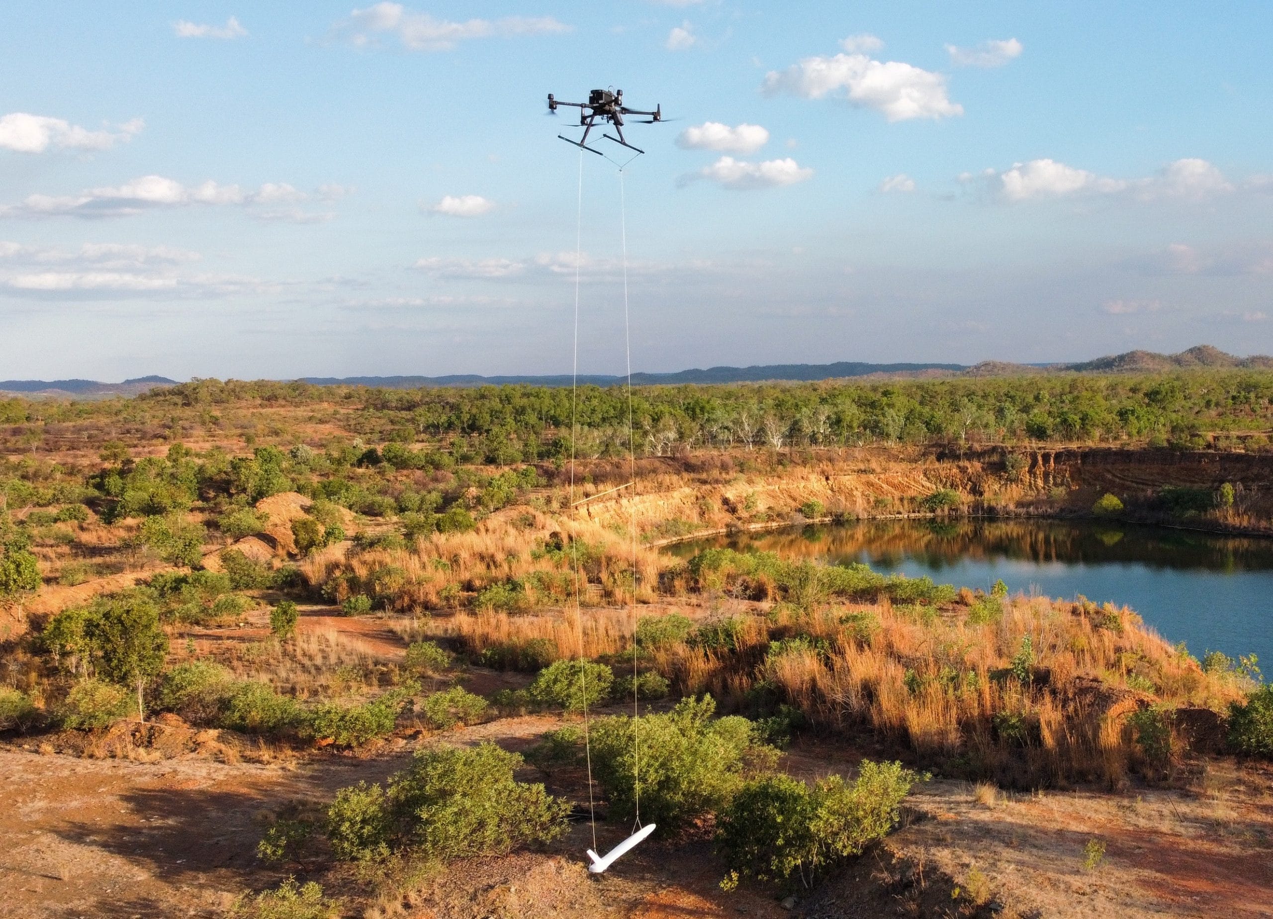
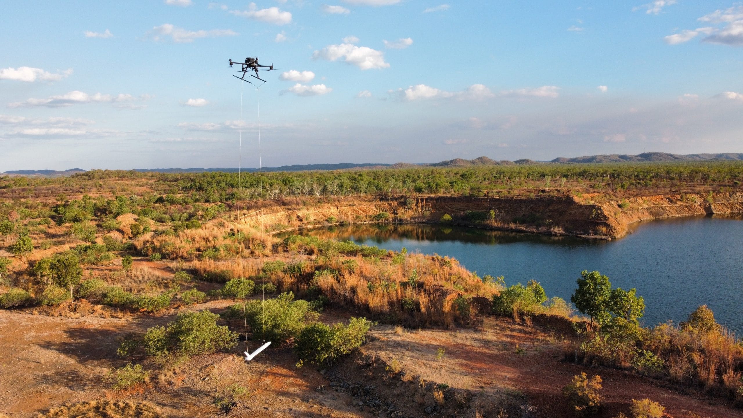
Drones for mineral exploration provide ultra high-resolution imagery to help mining companies locate mineral deposits. A magnetometer measures an object’s magnetic strength and magnetic direction, allowing users to track down objects or areas with iron content.
Drone magnetometer surveys are usually conducted at low height, in a towed bird arrangement when the equipment is towed behind an aircraft to guarantee survey resolution and terrain coverage.

Hazard identification
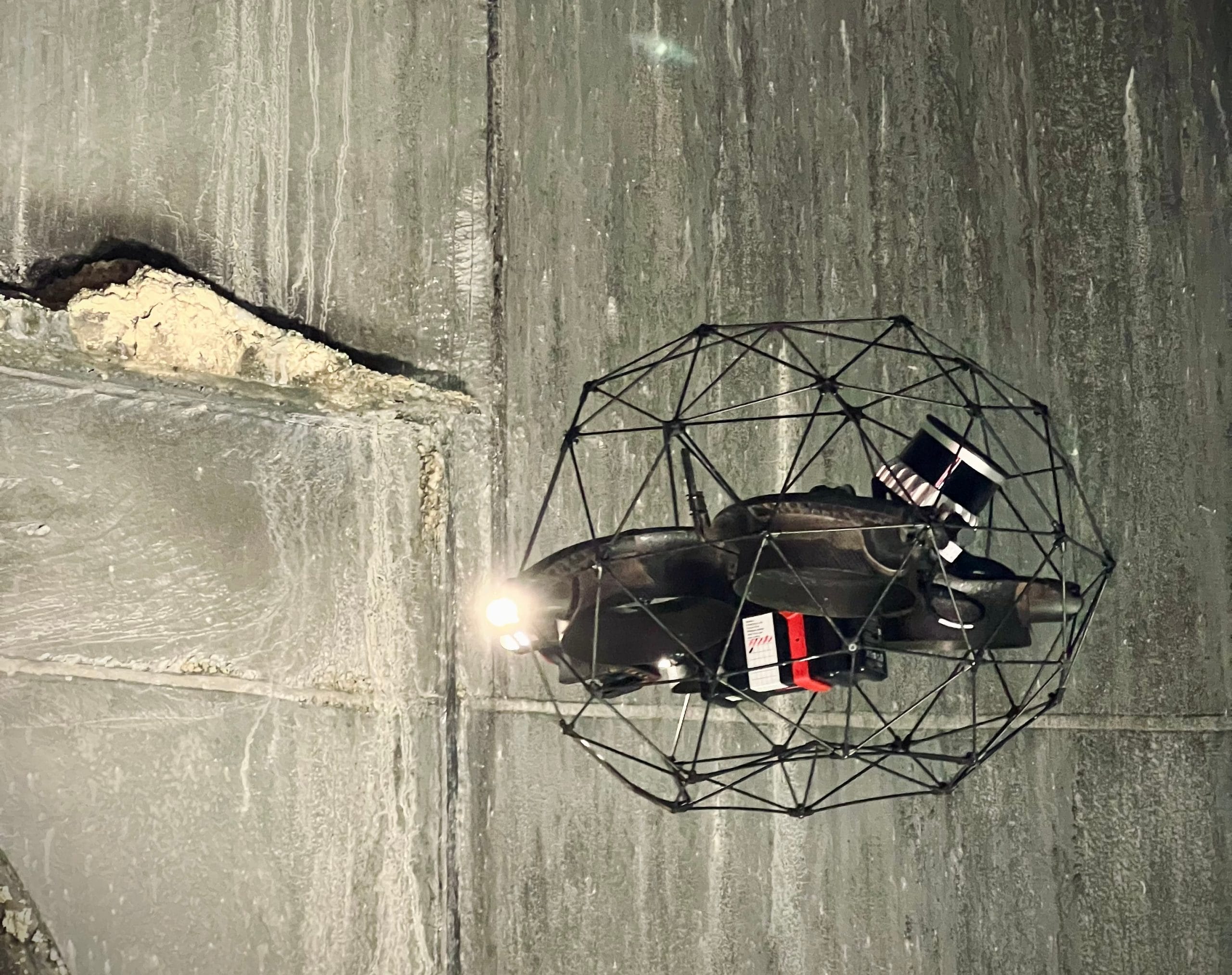
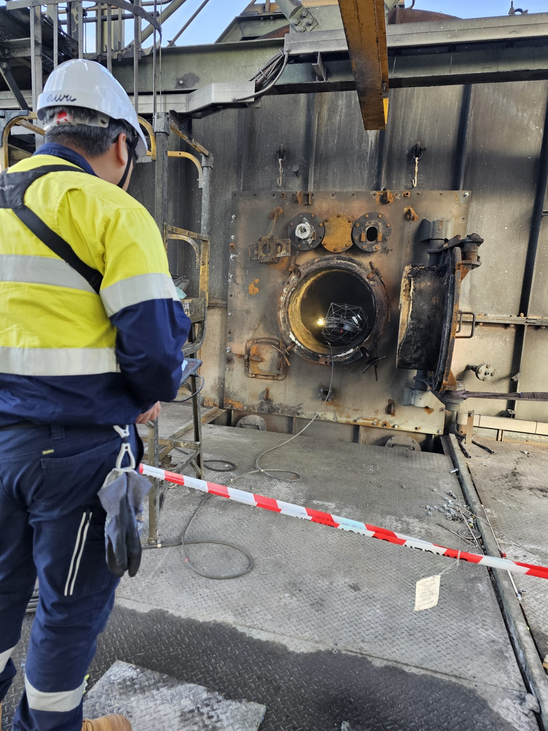
Drones can be sent into dangerous or inaccessible areas like underground tunnels or open pits to assess for structural weaknesses or gas leaks. Their advanced sensors, thermal imaging and high-resolution cameras can detect danger the human eye can’t, reducing risk to personnel.
Dams & tailings
Tailings dams and water storage facilities represent some of the highest-risk infrastructure in mining operations, requiring constant vigilance to prevent catastrophic failure. Our drones, including our drone-in-a-box (DiaB) systems, provide comprehensive monitoring solutions that enhance safety while reducing the need for personnel to access potentially hazardous areas.
Regular drone inspections can detect early warning signs of structural issues such as seepage, cracks, erosion or settlement in dam walls and embankments. Continuous monitoring allows for consistent data collection and rapid responses to changes in dam conditions, ensuring safe and compliant operation of tailings facilities.
Site monitoring & inspection
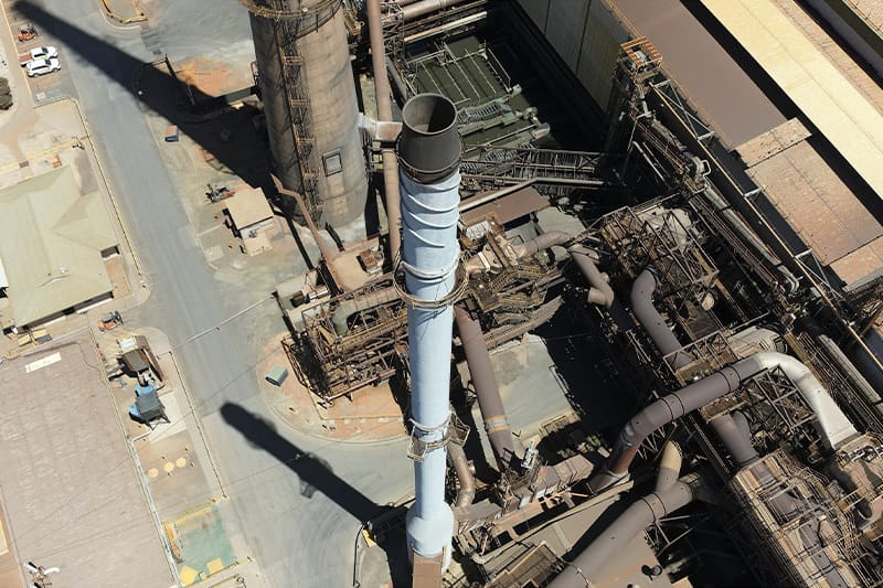
Drones for mining can also be used to monitor and inspect equipment for failure, increasing the efficiency of operations. Thermal cameras will detect overheating in components, while drones can also inspect all the infrastructure on a site, analysing it for corrosion, damage or leaks.
Emergency response
Drones provide critical real-time data and information, improving safety across the board. We use them as initial reconnaissance in areas affected by collapse, fire or gas leak, to identify threats or hazards before deploying a human crew.
Their thermal imaging allows them to detect body-heat even in areas of low visibility, making them effective for search and rescue. They can also carry emergency supplies to inaccessible areas.
Stockpile management
Drones can survey stockpiles of ore and waste to calculate their volume with high precision. Their aerial surveys help with inventory management and provide accurate data for financial reporting.
Mapping
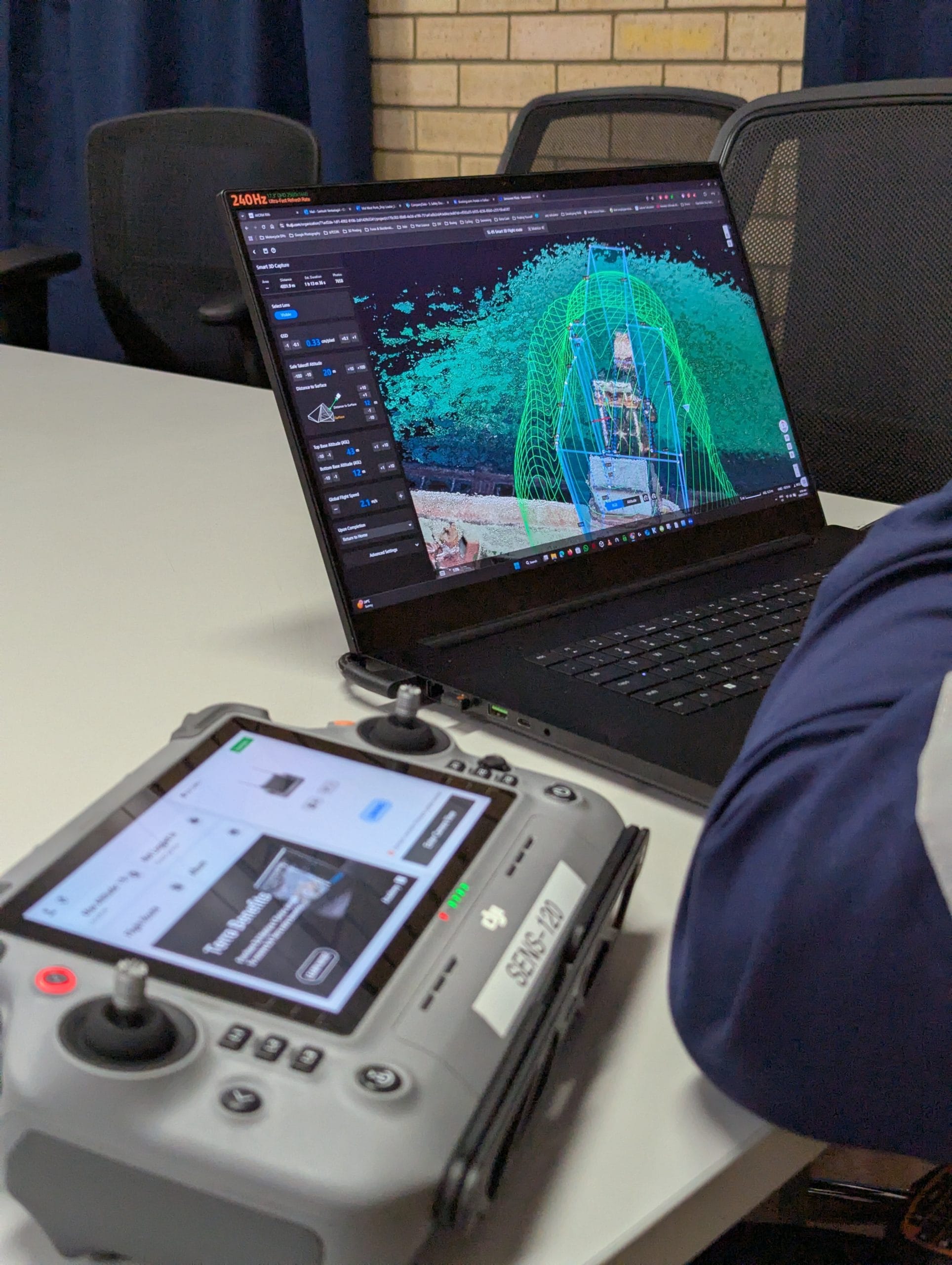
Drone land surveying and mapping is routinely utilised by the mining industry. Our drones can create detailed 2D and 3D maps of vast terrain, providing detailed visual information for mine planning, design and earthworks.
This drone data can also be used to create digital twins of mining assets or equipment to monitor its performance and predict its maintenance needs going forward.
How Drones Improve Mining Operations
Unparalleled Efficiency & Precision
Drones can collect detailed, real-time data much faster and more accurately than traditional methods. Their swift data processing dramatically increases the efficiency of projects across the sector. Their autonomy also offers precision without the chance of human error.
Complete Reporting Insights
This is where drones go beyond simple data collection. AI and machine learning algorithms analyse the survey data from the sensors in real time to identify patterns, offering instant comprehensive data and reporting insights.
Compliant Risk Mitigation
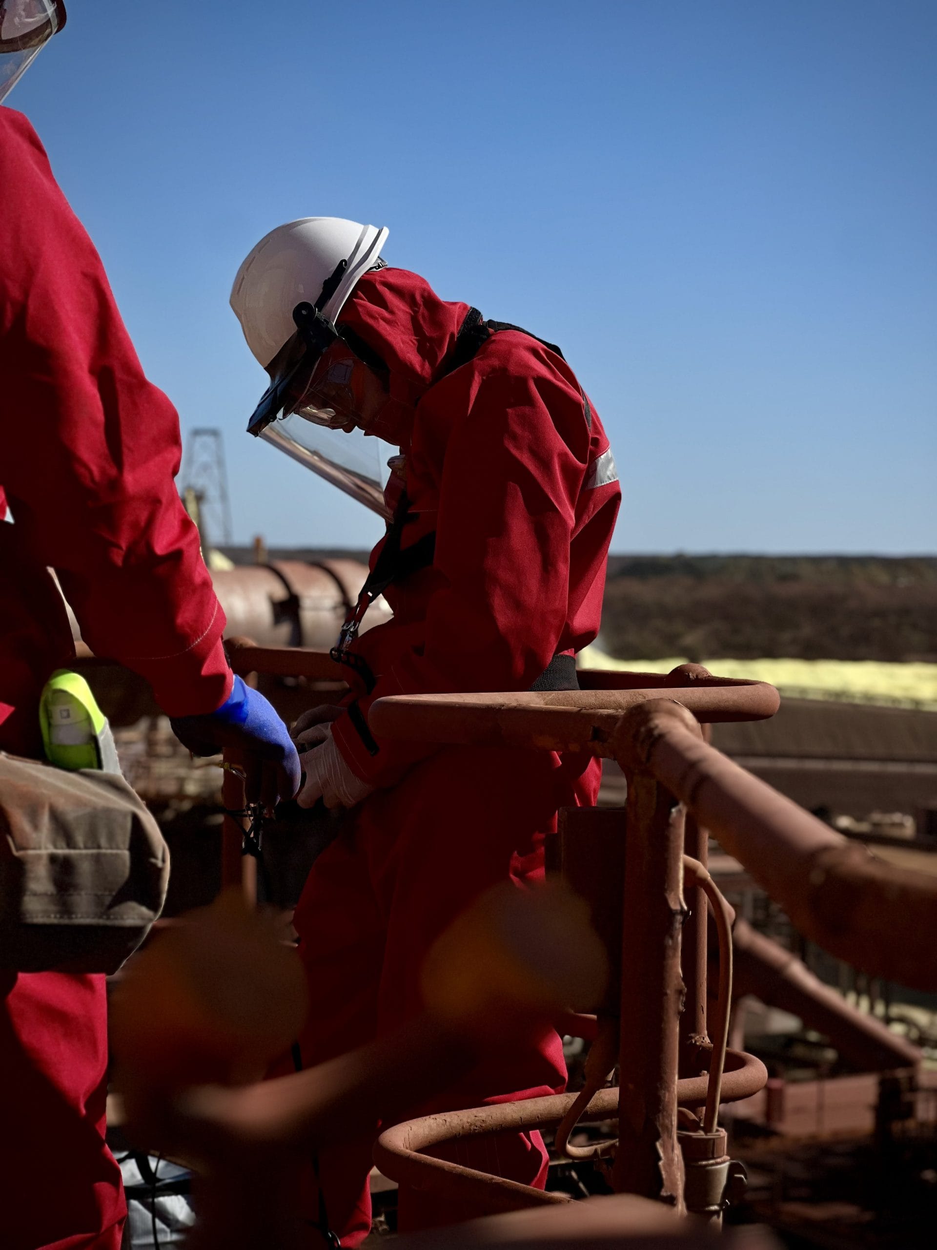
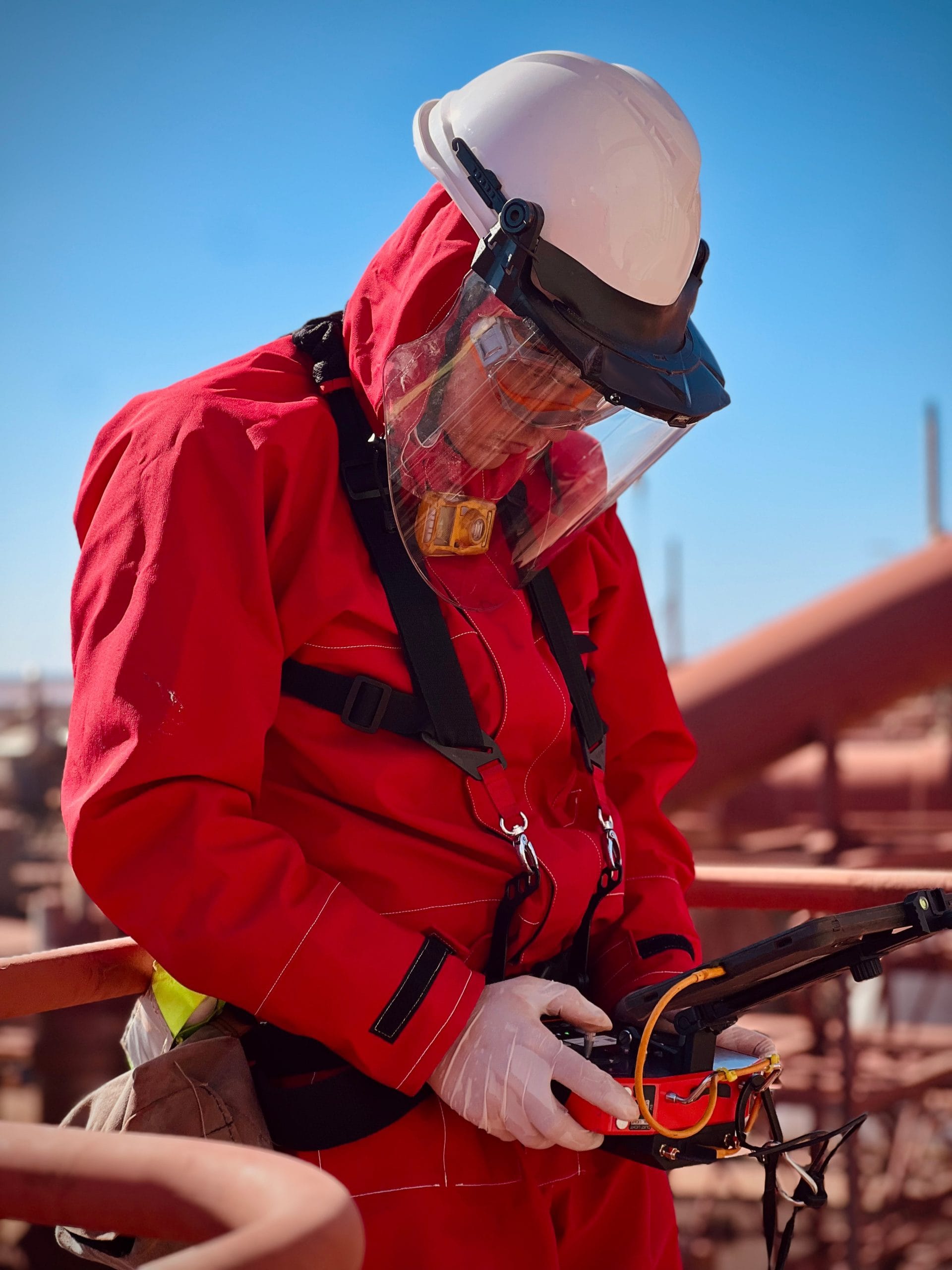
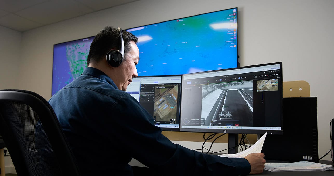
Safety and compliance are central to our approach. All of our drone pilots are CASA-approved, as is our fully approved Remote Operations Centre (ROC), which offers unparalleled capabilities in managing large-scale programmes across a number of sectors, including the mining sector.
Our Mining Projects
Why Sensorem?
Sensorem is Australia’s leading drone technology service provider. Founded in 2013, Sensorem has completed over 7,000 detailed asset captures in both metropolitan and remote areas across Australia.
We employ cutting edge technology, using our in-house expertise to deliver a complete turn-key service, from initial fieldwork to final report delivery.
7000+
Asset inspections completed
724
3D digital twins constructed
50+
Drone flights per day across Australia
14
Full time remote drone pilots
7,378
Kilometres flown
140
Terabytes of data processed and analysed