


Drones are rapidly becoming an essential tool across the government and the public sectors, assisting in everything from asset inspections and emergency response to environmental monitoring and planning. Sensorem’s capabilities in these areas demonstrate how our specialised drone services can help agencies operate more efficiently, safely and with higher-quality data.
Key Services
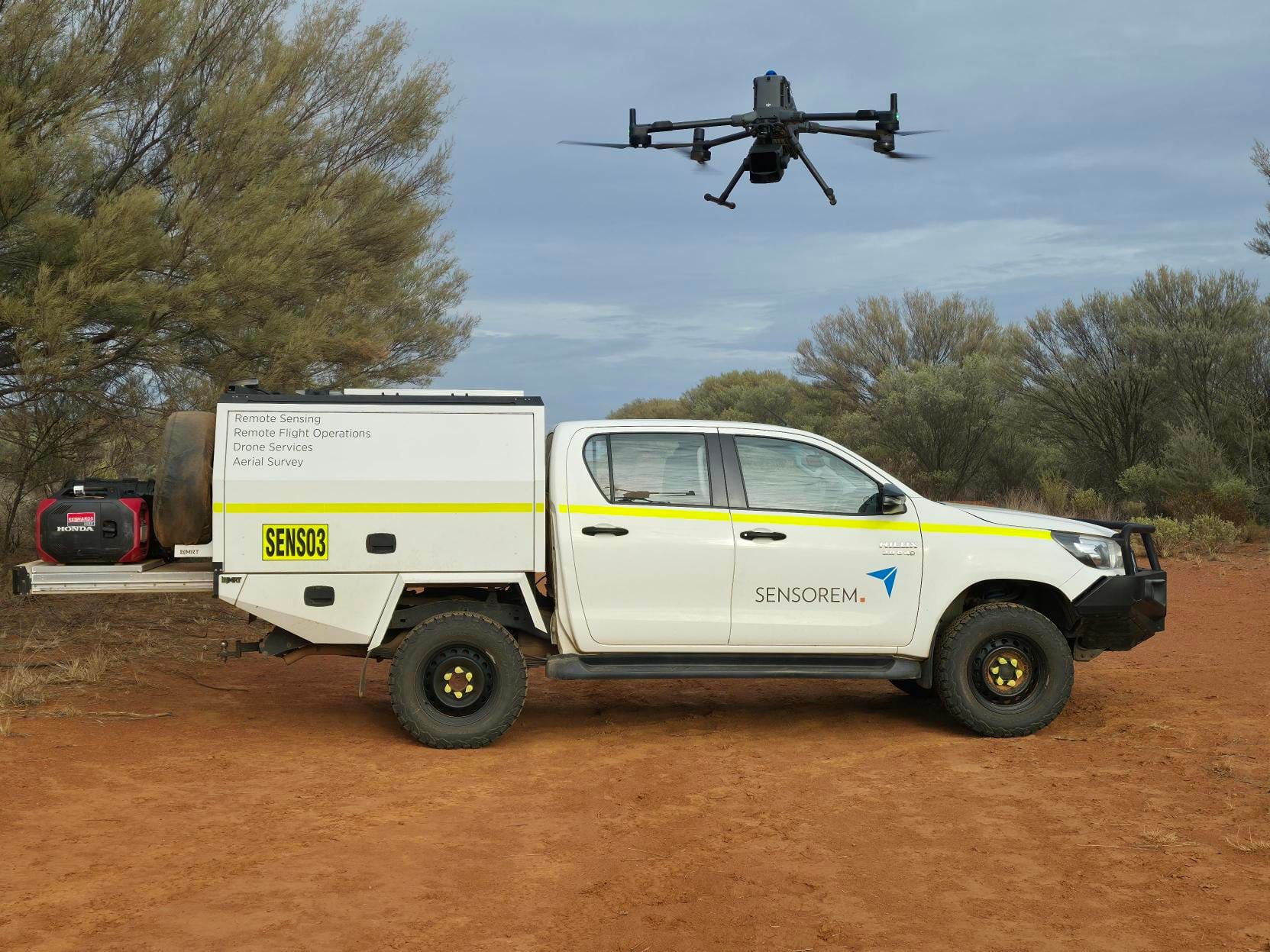
Infrastructure Monitoring
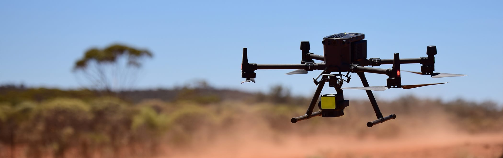
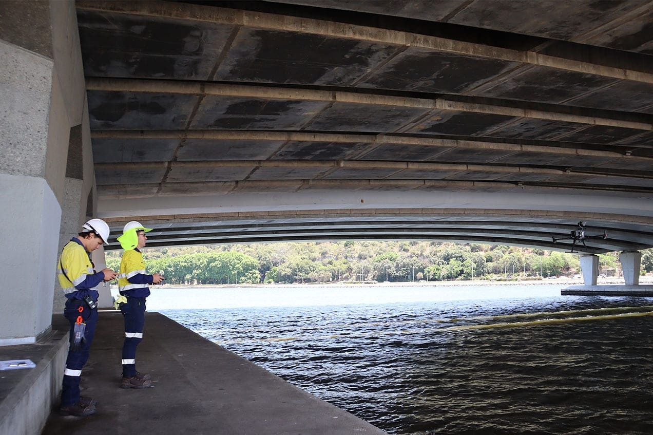
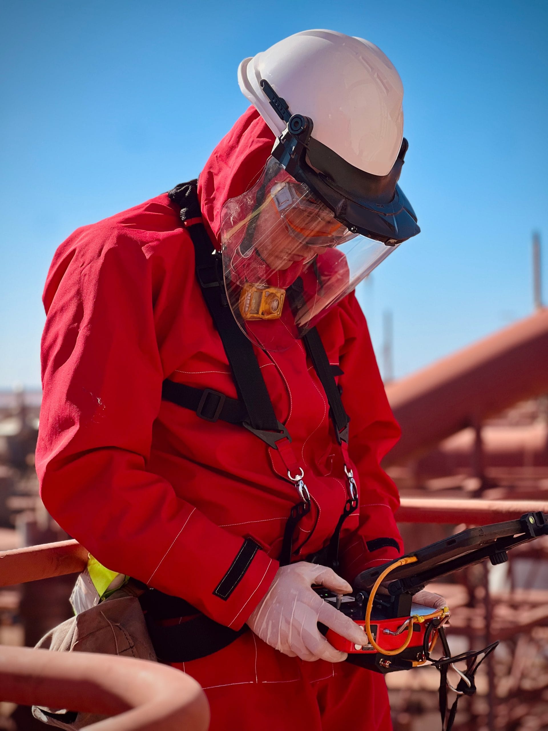
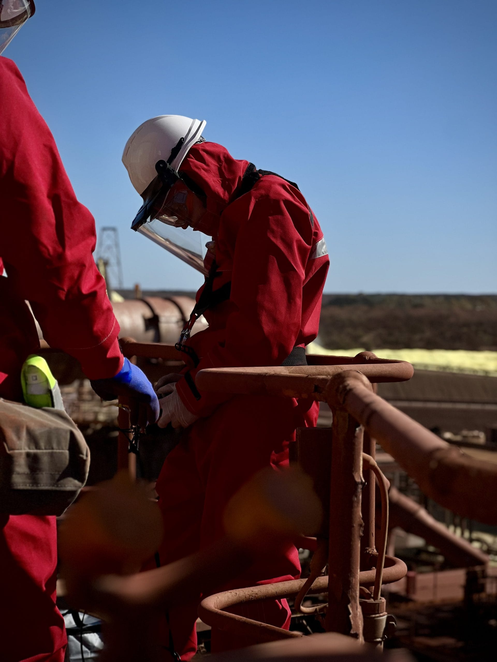
Sensorem delivers infrastructure monitoring through both autonomous and manually deployed drone operations. Our Drone-in-a-Box (DiaB) system and advanced LiDAR/aerial survey tools enable regular, automated assessments of bridges, pipelines, utilities and water assets, including in remote or hard-to-access areas.
High-resolution imagery and sensor data support early detection of maintenance needs, helping agencies meet compliance and safety requirements without costly shutdowns or risky manual inspections.
Security & Event Management
For security and event operations, Sensorem provides automated and remotely piloted drone surveillance to support rapid incident response, perimeter monitoring, crowd oversight and real-time situational awareness.
Traditional deployments can also be tailored for emergency services support or large public gatherings, with adaptable sensors and remote infrastructure configured to each project’s risk profile.
Mapping & Surveying
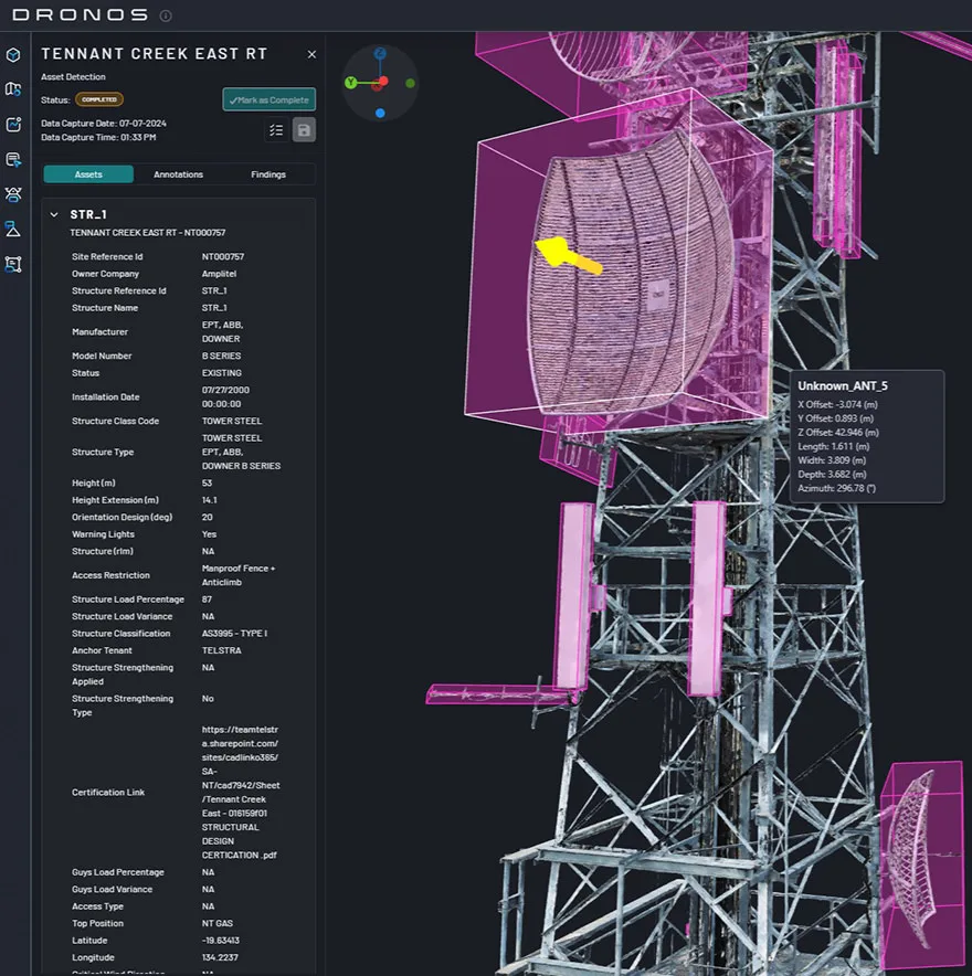
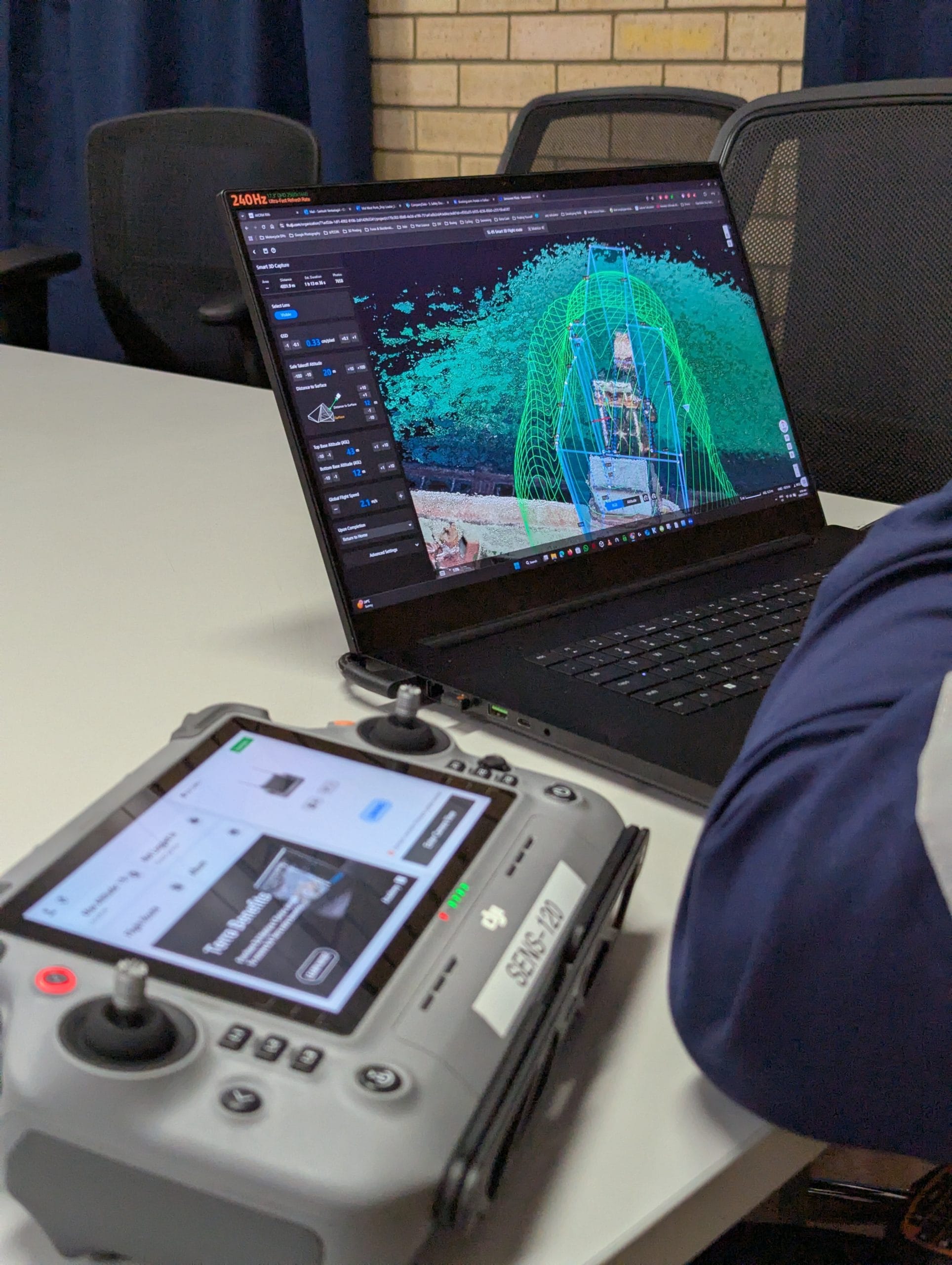
Mapping and surveying form a core part of Sensorem’s capability suite. Using high-resolution cameras, LiDAR, magnetometers and other specialised sensors, we produce accurate topographic maps, 3D models, digital twins, volumetric data and geophysical outputs.
These insights support urban planning, environmental monitoring, resource management and compliance reporting, especially where ground access is limited or broad terrain coverage is required.

Community Engagement
The visual data Sensorem captures, from digital twins and detailed maps to environmental or heritage surveys, can be used to enhance public reporting, improve planning transparency and strengthen community consultation.
Clear, high-quality visuals help translate complex information into formats that are easier for stakeholders and the public to understand, supporting more informed public engagement.
How Drones Are Serving the Public Sector
Cost-Efficient Solutions
Our drone and remote-sensing services streamline and simplify jobs like infrastructure inspections, surveying and asset monitoring.
The automation and acceleration of tasks that would have otherwise required boots on the ground, scaffolding or manned aircraft reduces labour, transport and downtime costs while still offering high-quality data.
Complete Reporting Insights
Thanks to advanced sensors (high-resolution cameras, LiDAR, magnetometers, laser scanners) that have been paired with powerful data processing and analysis tools, Sensorem offers actionable insights via maps, 3D models, digital twins, volumetric analyses and condition reports.
Safe & Compliant
Compliance and safety are integral to Sensorem’s operations. We maintain relevant aviation certifications and follow strict health, safety, environment and quality (HSEQ) standards to ensure all flights meet regulation. The utilisation of our drone services also reduces risk to personnel who would otherwise be required to attend remote or dangerous locations.
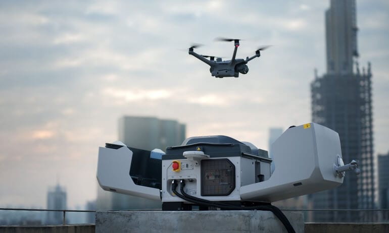
24/7 Operation
The autonomous Drone-in-a-Box system allows for true round-the-clock operation; launch, fly, charge and transfer data without the need for on-site operators. This in turn supports continuous asset monitoring, rapid responses, security patrols and environmental surveillance, even in challenging areas where traditional methods would be impractical or ineffective.
Why Trust Sensorem?
Sensorem combines advanced drone technology with stringent operational standards to deliver dependable, data-driven support for government and public sector projects. Our autonomous and manually deployed systems, combined with our specialist sensor capabilities and scalable infrastructure, deliver clear, reliable insights while significantly reducing operational risk. With an emphasis on precision, compliance and long-term service support, we offer government agencies a reliable partner for smarter, more informed decision-making.
7000+
Asset inspections completed
724
3D digital twins constructed
50+
Drone flights per day across Australia
14
Full time remote drone pilots
7,378
Kilometres flown
140
Terabytes of data processed and analysed