SPECIALIST EQUIPMENT
The data you collect can only be as good as the tools you use. At Sensorem, we use specialist remote sensing equipment to obtain the highest quality data available.
DJI MATRICE 300
The Matrice 300RTK is DJI’s latest commercial drone platform that takes inspiration from modern aviation systems. Offering up to 55 minutes of flight time, advanced AI capabilities, 6 Directional Sensing & Positioning and more, the M300 RTK sets a whole new standard by combining intelligence with high-performance and unrivaled reliability.

D-RTK 2 BASE STATION
D-RTK 2 Mobile Station is DJI’s upgraded high-precision GNSS receiver that supports all major global satellite navigation systems, providing real-time differential corrections that generate centimeter-level positioning data for improved relative accuracy.

P1 CAMERA
The Zenmuse P1 integrates a full-frame sensor with interchangeable fixed-focus lenses on a 3-axis stabilized gimbal. Designed for photogrammetry flight missions, it takes efficiency and accuracy to a whole new level.

H20T THERMAL CAMERA
- 20 MP Zoom Camera
- 12 MP Wide Camera
- 1200 m LRF
- 640×512 px Radiometric Thermal Camera

H20 CAMERA
- 20 MP Zoom Camera
- 12 MP Wide Camera
- 1200 m LRF

GEOMETRICS MAGARROW
The MagArrow is engineered to simplify surveys that are difficult due to the various limitations of pilot-on-board surveys and ground surveys. The MagArrow is a robust yet flexible system that can adapt to changing field conditions and new user workflows.

MICASENSE REDEDGE-MX
The RedEdge-MX is one of the most flexible solutions on the market, with optimized GSD resolution, a DLS 2 light sensor, a global shutter and the ability to generate plant health indexes and RGB images from one flight.

EMESENT HOVERMAP
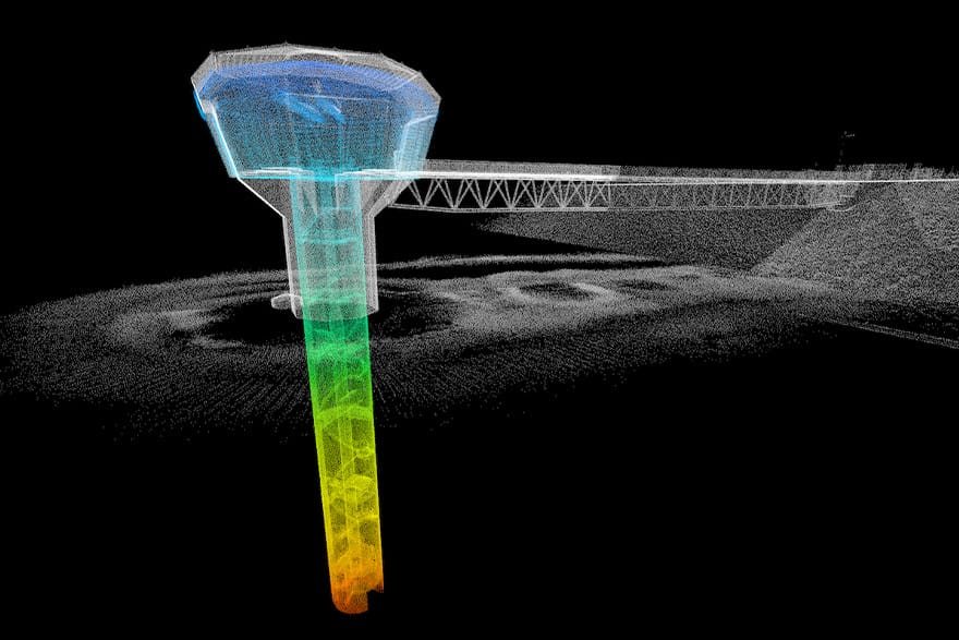
Hovermap is a smart mobile scanning unit that can be mounted to a drone to provide autonomous mapping in challenging, inaccessible areas.

FLYABILITY ELIOS 2
Elios 2 is the most intuitive, reliable, and precise indoor inspection drone. Keeps the workforce out of harm’s way while performing flawless inspections right from the first flight using cutting edge drone data capture capabilities.

WINGTRA ONE
WingtraOne’s unique set of features empowers to minimize the time flying and get more work done, be it another project in the field or analyzing the data at the office.

CHCNAV ALPHAAIR 450
The AlphaAir 450 (AA450) is a major breakthrough in 3D mobile mapping technology, allowing its use in geospatial reality capture applications. AlphaAir 450 is the next generation of CHCNAV LiDAR system, which is widely used for power line inspection, topographic mapping, emergency response, agricultural and forestry surveys, and more.

LEICA RTC360
The Leica RTC360 3D laser scanner is the solution for professionals to manage project complexities with accurate and reliable 3D representations and discover the possibilities of any site.

FARO FOCUS
FARO Focus Laser Scanners are specifically designed for both indoor and outdoor measurements in industries such as Architecture, Engineering, Construction, Public Safety and Forensics or Product Design. All devices capture real world information used in the digital world to analyze, collaborate and execute decisions to improve and maintain the overall project and product quality.

EDDYFI VERSATRAX VT150
The VersaTrax™ is a state-of-the-art pipe inspection system with advanced capabilities. This sophisticated robotic crawler provides detailed remote visual inspections, travelling up to one kilometer (3,300 ft) in a single run. It is well suited for a variety of integrity assessments across a broad range of industries, offering the same versatility and flexibility you can expect from all Eddyfi Technologies remotely operated inspection crawlers.