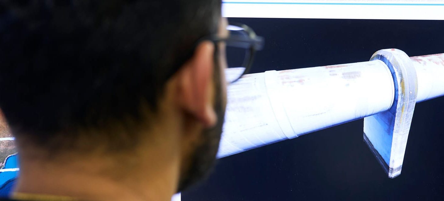
Sensorem excels in the data processing and analysis of remote sensing data, utilising custom processing PCs and the latest software packages to transform raw data into actionable insights. Our advanced infrastructure efficiently handles large volumes of data, delivering precise and detailed results that support decision-making in various applications, from infrastructure inspection to environmental monitoring.
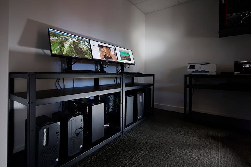
Our custom processing PCs are designed for the intensive demands of high-resolution imagery and LiDAR data. These powerful systems allow for rapid processing and detailed analysis, ensuring timely delivery of accurate 3D models, digital twins, and other data products. By leveraging these capabilities, we reduce turnaround times and provide our clients with prompt, reliable insights.
We use industry-leading software for photogrammetry, LiDAR processing, and GIS analysis, enabling us to perform comprehensive analyses tailored to client needs. Our expert team of data analysts and GIS specialists ensures that complex datasets are interpreted accurately, providing meaningful insights that address specific challenges and objectives. Sensorem’s commitment to excellence in data processing and analysis guarantees high-quality, actionable data solutions for our clients.