Sensorem’s drone survey services encompass advanced photogrammetry and LiDAR technologies to deliver precise and comprehensive data for various applications. Our state-of-the-art drones are equipped with high-resolution cameras and LiDAR sensors, enabling us to capture detailed aerial imagery and accurate 3D data. These technologies facilitate efficient and thorough surveys of landscapes, infrastructure, and construction sites, providing our clients with actionable insights and enhancing decision-making processes across different projects.
Drone-Powered Photogrammetry
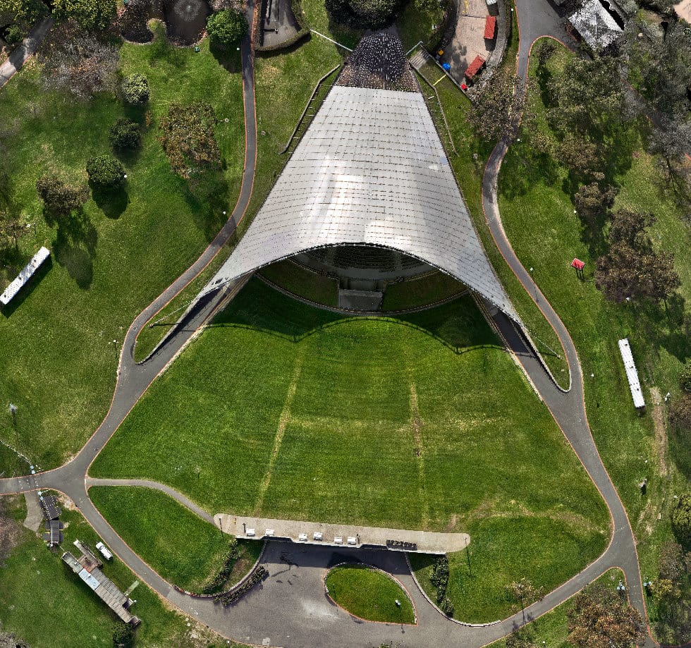
Photogrammetry surveys conducted by Sensorem involve the use of high-resolution cameras mounted on drones to capture detailed aerial photographs of the survey area. By taking multiple overlapping images from different angles, we create accurate 2D maps and 3D models through advanced photogrammetry software. These surveys are ideal for topographic mapping, land surveying, and construction site monitoring, offering precise measurements and detailed visual representations. The data collected is processed via our custom and high-powered processing computers, ensuring clients receive the final deliverables in a timely manner.
Applications
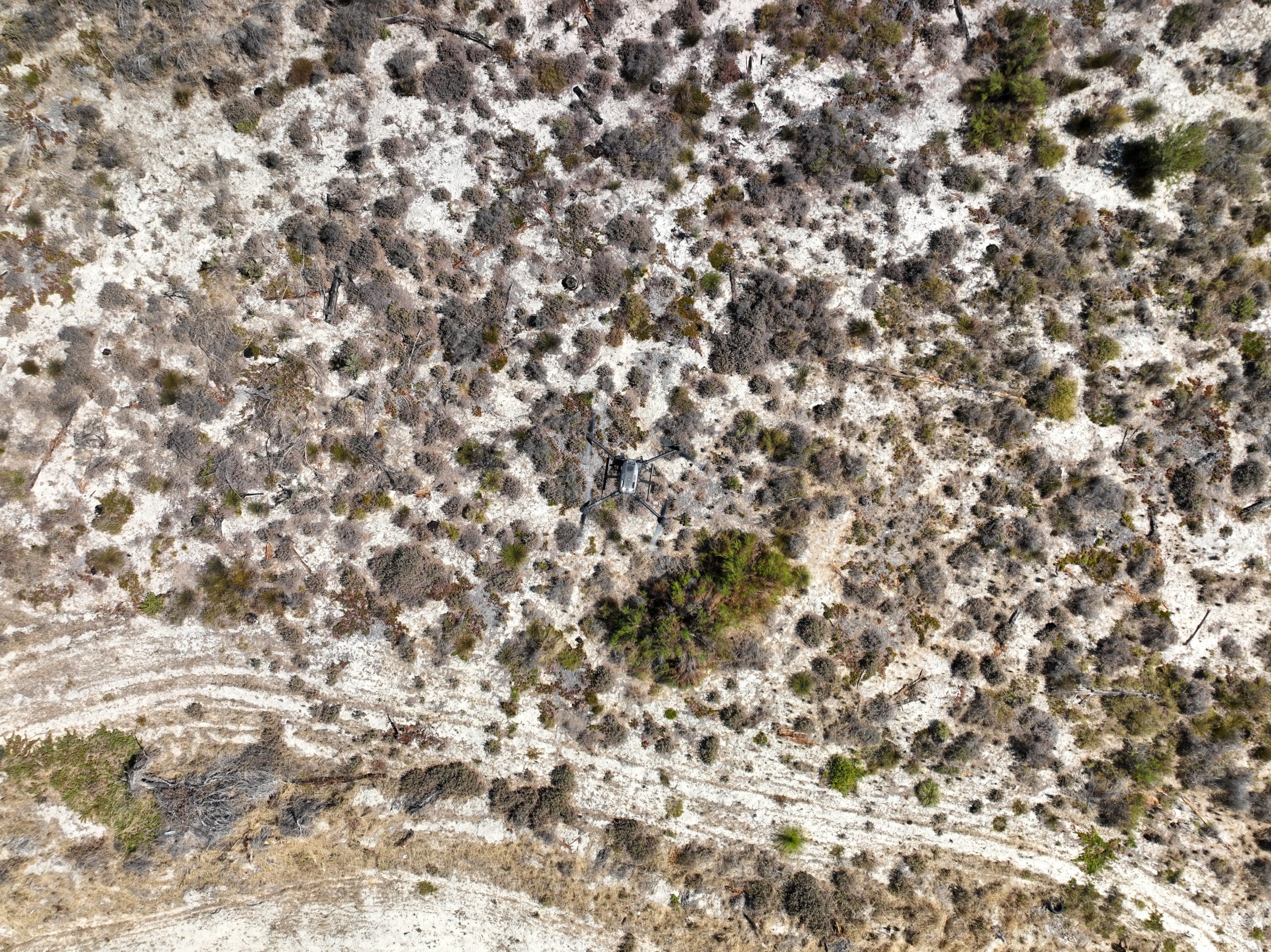
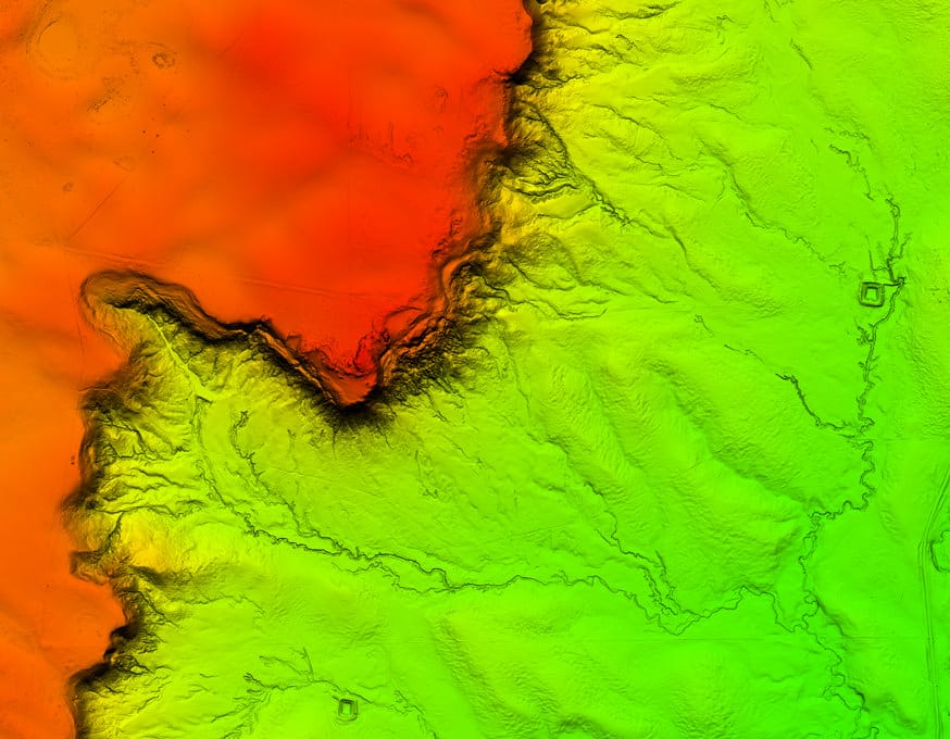
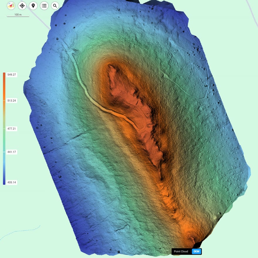
LiDAR surveys at Sensorem employ cutting-edge LiDAR sensors on our drones, including the CHCNAV and DJI L2 units. This technology allows us to generate highly accurate 3D point clouds, which provide detailed information about the surveyed area’s topography and structures. LiDAR is particularly effective for surveying dense vegetation, complex terrain, and hard-to-reach areas, as it can penetrate foliage and capture ground data that traditional photogrammetry might miss. The detailed 3D models and elevation data produced by LiDAR surveys are invaluable for applications such as wind farm planning, forestry management, infrastructure planning and mining exploration, ensuring that our clients have the precise information they need to make informed decisions.